Mesovortex.com


Friday May 27, 2016

Chase Partners:
Randy Baker, Brian Fischer, Steven Peak

Departure Location:
Woodward, OK

Target Area:
Medford, OK

Final Location:
Joplin, MO

Distance:
385 miles


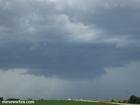
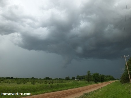
The best the storms got, just a wall cloud

The setup does not look as great as the last few days, however model data shows there will be increasing instability and shear ahead of the dryline during the afternoon and early evening as the dryline tracked east. This appeared to be maximized across the Oklahoma and Kansas border near the Interstate 35 corridor. We initially target the Alva, Oklahoma area in the early morning, however as we are travelling east the cumulus development suggests we need to keep heading east towards the Medford area. Shortly after lunch at a local roadside BBQ place the cumulus are building with some weak echoes showing up on radar. We core punch these weak initial storms to get east of them and experience at best 3/4" hail. We follow these initial storms northeast toward the Kansas border, however they quickly become outflow dominant and do not look very impressive so we head south and west back towards Medford to target additional storms firing up upstream from this initial convection for any development. These later storms develop brief wall clouds at times, but they too become outflow dominant.

The initial storms we were on develop rotation near Wichita so we try to position ourselves to get ahead of that storm without getting in the way of the massive hail the storm it is producing. We zig zag east and north along and north of the Oklahoma border.  Unfortunately we are unable to get ahead of the storm before it produces a weak tornado and becomes a huge line of convection that stretches from Kansas to Oklahoma. At this point the long line of convection limits our options are limited so we travel east to spend the night in Joplin, MO.  Given the setup and limited options today wasn't a bad day as we did get some shots of storm structure.

  
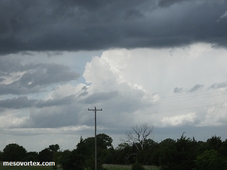
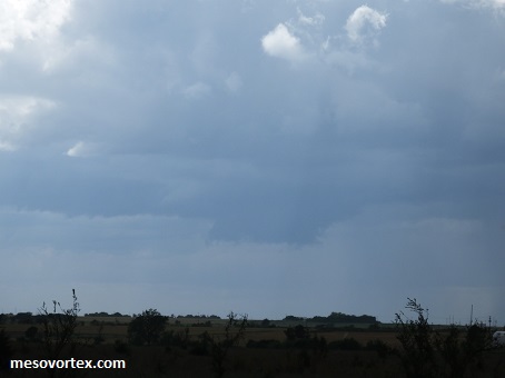
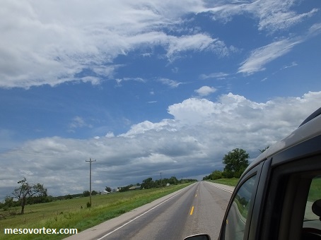
Cumulus is building, time to head east! Taken out of the car window
  
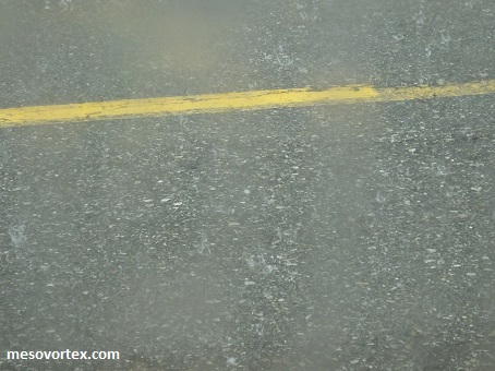
Sub severe hail as we go through the storms to get east
  
We finally get east of the storm as it gets ready to head into Kansas
  
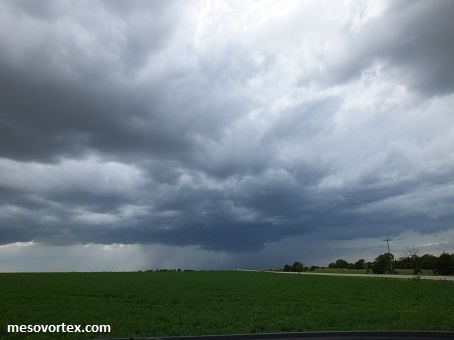
Additional storms are brewing to the southwest
  
A lowering visible just to our south
  
Outflow quickly disturbs any chance of further formation
  
The hail core is visible in the distance
  
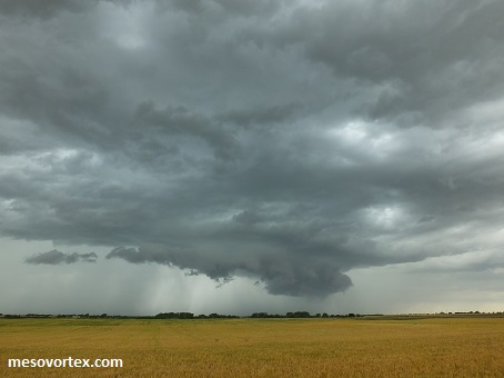
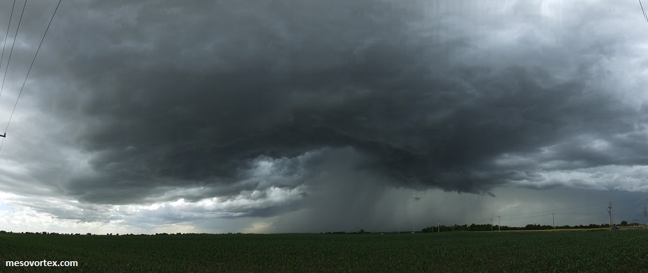
Yet another wall cloud forming off to our southwest
  
A lowering?  Nope just a scud cloud
  
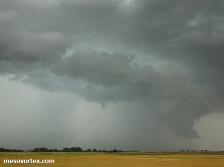
As we approach another storm to our southwest this also becomes outflow dominant
  
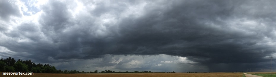
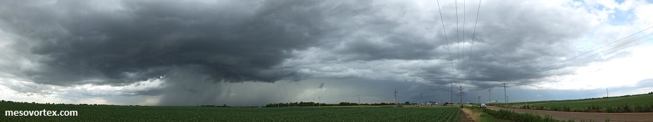
A wide angle panoramic of the storm
  • Back to May 26, 2016
  • Ahead to May 28, 2016
  • Back to the Storms Page
  • Back to the 2016 Storm Chase Logs
  • Back to the Front Page