Mesovortex.com


Friday June 11, 2010

Chase Partners:
VORTEX 2

Departure Location:
Sterling, CO

Target Area:
Limon, CO

Final Location:
Lamar, CO

Distance:
469 miles


Today was another challenge as northeast and southeast Colorado were possibilities. To be in position for either scenario we head south towards Limon, CO so we can head north or south depending on where storms develop. After several hours in Limon a Tornado Watch is issued for most of eastern Colorado. Several storms develop across central Colorado with a storm in Denver being the strongest. Since this looked like the best storm we head northwest on Interstate 70 to Strasburg. We aren't there long when we see the storm heading out of Denver is weakening while the storms west of Limon are picking up in intensity quickly and developing mesocyclones. We drop south to intercept these storms and almost get off a pod deployment south of Bovina before 2 inch hail and a tornado pass right in front of Probe 13. We then head east to get ahead of the storm to Arriba. We try for another intercept where we see two more tornadoes as we head south underneath the mesocyclone. We head east again to Seibert where we are able to get some mesonet data north along Highway 59 before ops end around sunset.

  
The first storm we went after near Denver
  
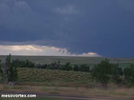
The storm to our south develops a mesocyclone
  
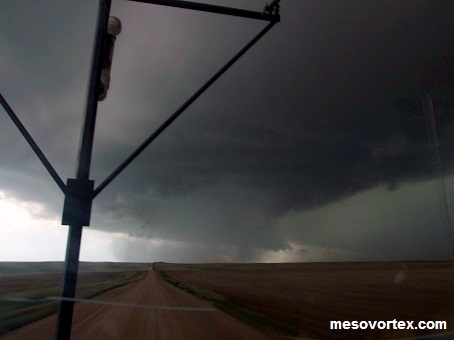
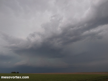
 The storm devlops lowerings with a Beavers tail inflow
  
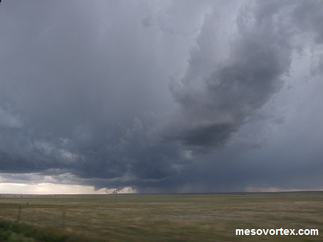
A close up of some of the lowerings
  
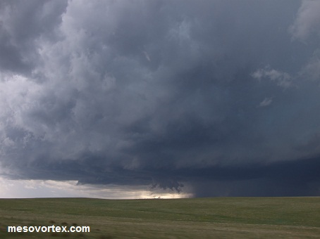
 The cell near Limon develops a nice bell shape
  
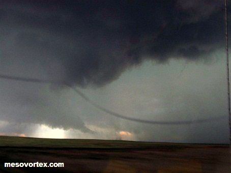
The weak tornado near Genoa
  
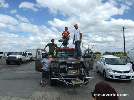
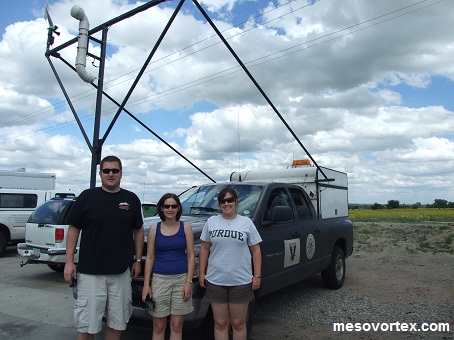
 The probe 12 team in Limon
  
The IMAX crew following us
  
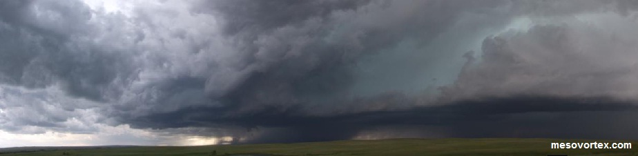
A panoramic of the storm south of Bovina

  • Back to June 10, 2010
  • Ahead to June 12, 2010
  • Back to the Storms Page
  • Back to the 2010 Storm Chase Logs
  • Back to the Front Page