Mesovortex.com


Thursday June 10, 2010

Chase Partners:
VORTEX 2

Departure Location:
Chadron, NE

Target Area:
Hoyt, CO

Final Location:
Sterling, CO

Distance:
437 miles


Despite the Moderate Risk todays setup was a bit complicated as the best moisture and CAPE were to the south in northeast Colorado while the best shear was in eastern Wyoming and western Nebraska. The cap was also fairly strong as we waited in Sidney, NE for storms to initiate for several hours before storms developed off the Rockies in Colorado. Once they did we dashed south towards Hoyt, CO to intercept several developing storms. We position outselves in front of the northernmost storm which looks good on radar until it dissipates. Another storm to the south quickly develops so we go south on 52 and witness the tornadoes that develop near Deer Trail, CO. We stay ahead of this storm as it heads east and cease operations around 10 pm CDT as the storms move east and we run out of daylight. As we head back to the hotel we watch a lightning illuminated meso to our east. I could not get a picture due to the lack of a good spot to tripod...however I grabbed some video stills from my HD camcorder of the meso.

  
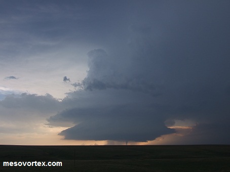
The first storm we went after in Colorado
  
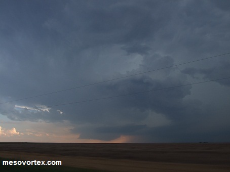
A distant rain shaft...something for spotter talks?
  
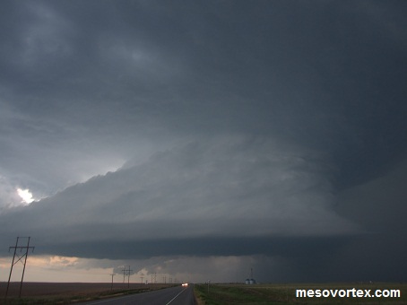
 The wall cloud on the southern storm
  
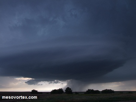
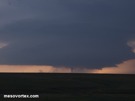
 The first tornado forms
  
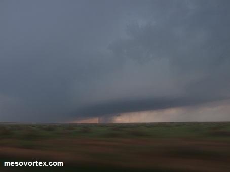
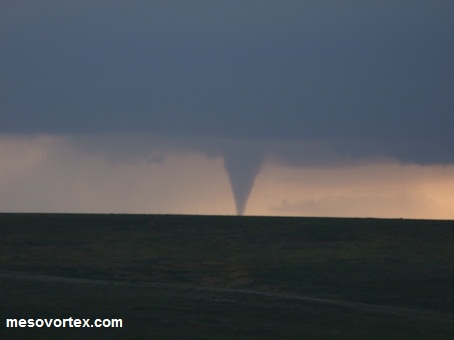
A close up of the tornado
  
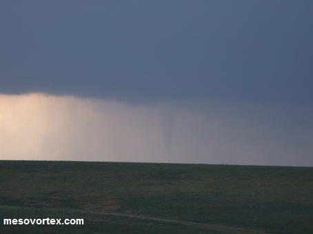
 The second tornado of the day...rain wrapped
  
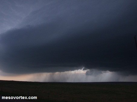
Rain shafts from the storm as it comes towards our location
  
The storm chases us as we head east
  
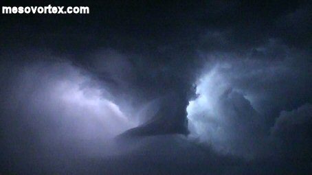
Video still of the lightning illuminated meso
  
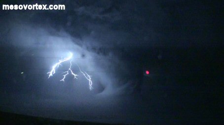
Video still of lightning near the meso


YouTube video of the Tornadoes

  • Back to June 9, 2010
  • Ahead to June 11, 2010
  • Back to the Storms Page
  • Back to the 2010 Storm Chase Logs
  • Back to the Front Page