Mesovortex.com


Wednesday June 9, 2010

Chase Partners:
VORTEX 2

Departure Location:
Aurora, CO

Target Area:
Cheyenne, WY

Final Location:
Chadron, NE

Distance:
550 miles


The play today appears to be upslope flow off eastern Wyoming as an axis of instability forms over the Nebraska and Wyoming border.  We chase some early cells that track into the Nebraska Panhandle...however these cells quickly dissipate as they head into less stable air east of Scottsbluff.  We see Reed Timmer near Kimball at a gas station that was hit by storms earlier in the project.  Thunderstorm development is very slow over the next few hours until a storm develops over Goshen county and slowly gains strength.  This storm splits into a right and left mover and we set up to intercept the right mover at the western end of the Nebraska Panhandle south of Mitchell north of Highway 88.  The storm develops into a supercell with a well defined low wall cloud and a pendant on the south side of the storm.  Despite all of these favorable parameters the storm does not develop a tornado and weakens considerably as it moves towards Scottsbluff.

  
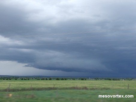
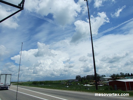
The first storm we went after
  
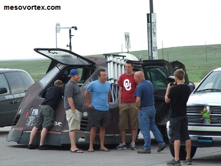
The Dominator near Kimball
  
 We continue after another storm further north
  
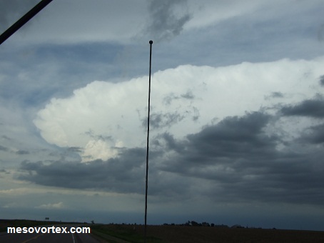
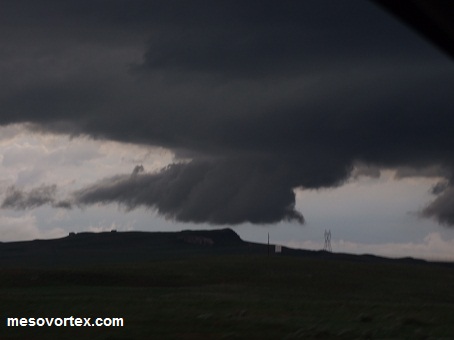
The storm exhibits a meso but is dying
  
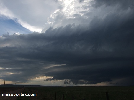
 A supercell over Wyoming heading east
  
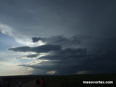
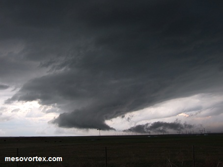
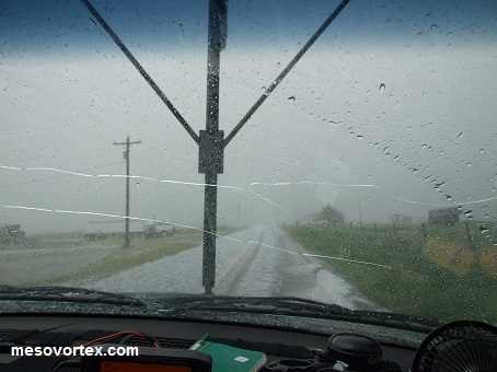
The storm has a well defines wall cloud
  
 A long tail cloud to the right of the wall cloud
  
A large swath of hail north of the storm

  • Back to June 8, 2010
  • Ahead to June 10, 2010
  • Back to the Storms Page
  • Back to the 2010 Storm Chase Logs
  • Back to the Front Page