
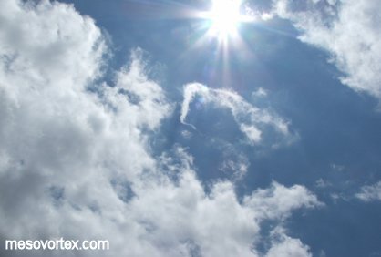
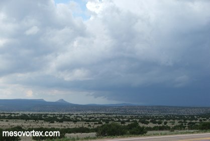
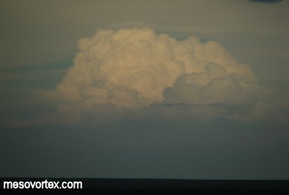
A quickly developing thunderstorm to our northwest.
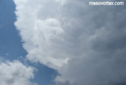
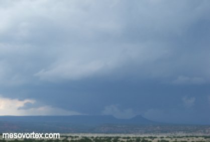
A mid-level horshoe vortex indicates shear aloft.
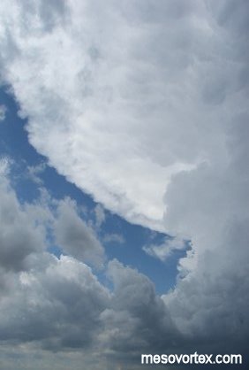
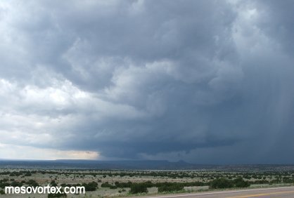
The anvil quickly spreads towards us.
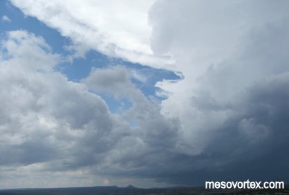
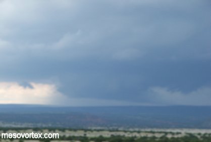
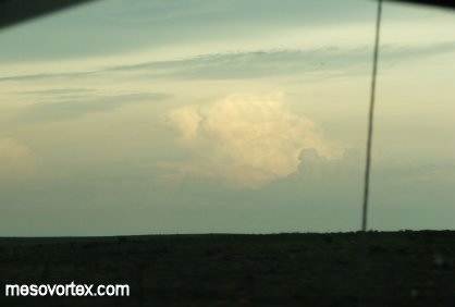
A portrait of this developing supercell.
The storm shows signs of rotation.
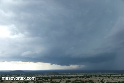
The base of the updraft begins to lower.
We now have a wall cloud.
A tail cloud starts to develop.
A close-up of the wall cloud.
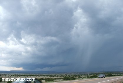
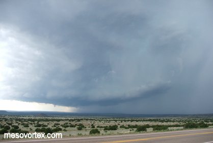
A wider angle shows a hail shaft to the right of the updraft.
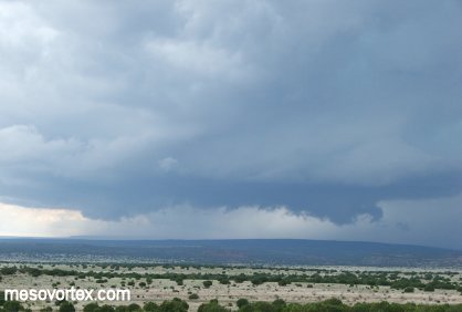
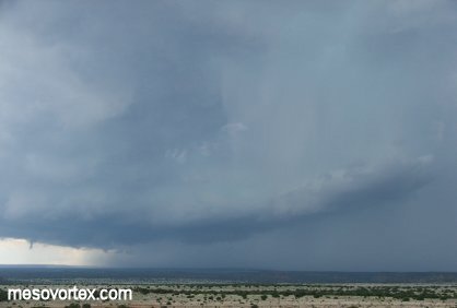
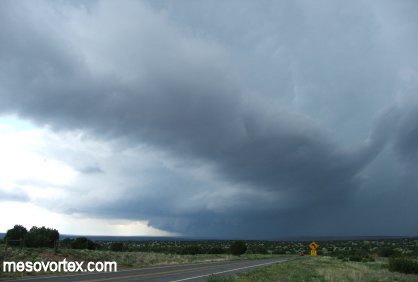
The wall cloud looks less developed.
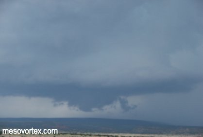
Then becomes very well defined.
A beavers tail inflow cloud develops to the east of the storm.
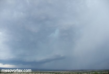
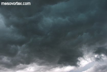
The light blue hue that has followed us has appeared in this storm.
The feature is short lived.
The storm continues to develop rapidly and heads south.
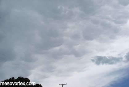
Some photogenic mammatus clouds overhead.
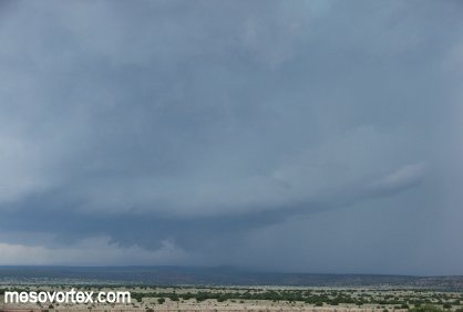
The wall cloud loses some of is structure.
A large beaver's tail inflow cloud reminiscent of last year.
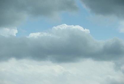
More developing CU to the south.
Some low CU as we try to get out of the path of the storm.
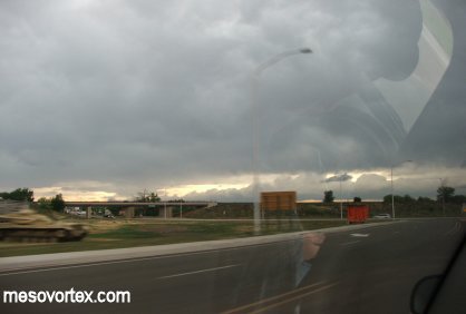
The rest of the storms looked unimpressive like this one.
More developing CU but nothing spectacular.
The storms become less organized on our way to Amarillo.