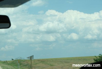
Developing CU to our north.
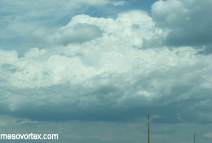
A pileus cloud on top of the developing convection.
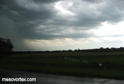
Looking at a developing storm to the south.
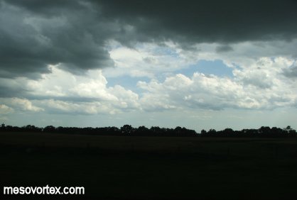
The storm dissipates with other CU visible to the south.
YouTube video summary of the chase set to music
|
Developing CU to our north. |
A pileus cloud on top of the developing convection. |
|
Looking at a developing storm to the south. |
The storm dissipates with other CU visible to the south. |
|
YouTube video summary of the chase set to music |
All in all it was a great chase with some amazing photos and
awesome chase partners. This was by far the best
chase I have been on to date. One of our nowcasters Scott Cultice was
an invaluable resource in helping
to get to our most severe storms. Some stats:
Miles Driven: 4440 round trip from Kenosha and 4757 for me from Green
Bay
Lessons Learned:
1. While My-Cast is a great application for Verizon Wireless it only
works in larger cities and is essentially
useless when you are actually chasing away from these areas.
2. When your nowcaster tells you a storm is forming over you look
up...you may be suprised to find a developing
storm overhead.
3. Lightning shots are not as daunting as previously thought. All you
need is a tripod and a long shutter speed.
4. On a bust day New Mexico is a great place to be given the beauty of
the mountains and the different wildlife
that live there.