Thursday May 26, 2005


     Although the day does not look that promising we head west to Albuquerque to try and catch storms as they initiate on the front range for some time lapse footage. We climb up to Sandia Peak Ski Area where I reach a personal best 8666 ft above Sea Level according to GPS. After realizing we will not see much on this mountain stormwise we head north on 14 towards Santa Fe to see some of New Mexico's natural beauty. Near Santa Fe we see a dying Cumulus cloud with virga underneath the base and a rainbow ring around the sun. After the storm dies we take 25 to 84 south back to Santa Rosa and run back into very low stratus and drizzle that never burned off during the day. Our outlook for Friday looks to be in southern NM near a boundary where winds turn southerly and clear out the stratus. Saturday looks good for Salina, KS with nothing great for Sunday.
     Here are some pics of the clouds and terrain over New Mexico:

  
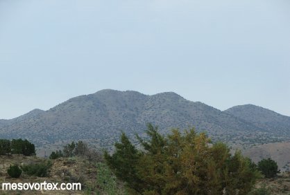
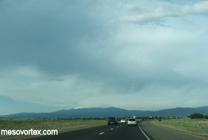
A view of the mountains off Sandia Peak.
  
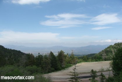
A broader view of the mountains.
  
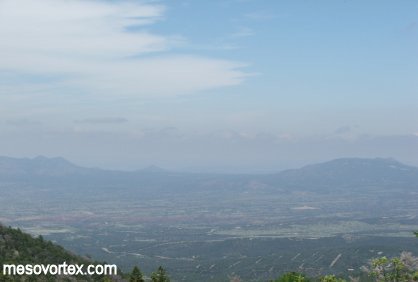
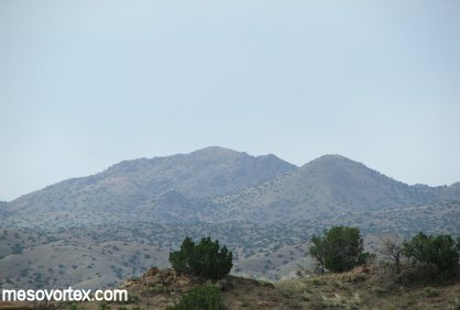
A hazy view at 8666 ft.
  
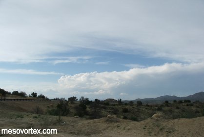
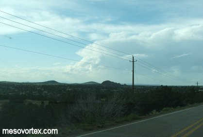
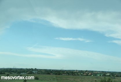
Developing CU on the way to Santa Fe.
  
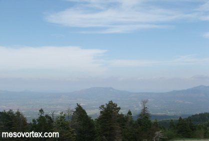
More mountain peaks.
  
Scenery makes up for this bust day.
  
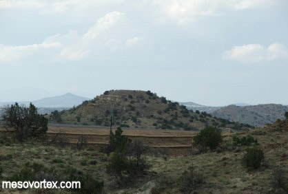
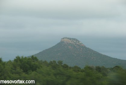
A mesa near the road.
  
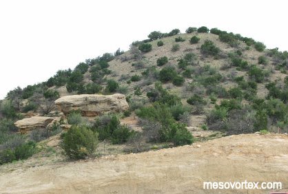
The climate in this part was very arid.
  
Back to the poorly developing CU.
  
Some virga coming out of the clouds close by.
  
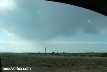
We stop near Santa Fe to watch the virga.
  
The storm gets closer to our location.
  
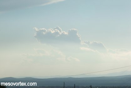
An orphan anvil from a previous storm.
  
Developing CU in the distance has no chance.
  
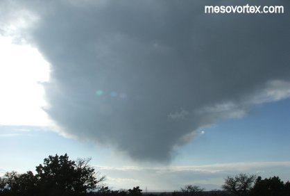
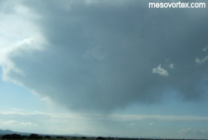
The storm gets drier as the virga gets higher in the sky.
  
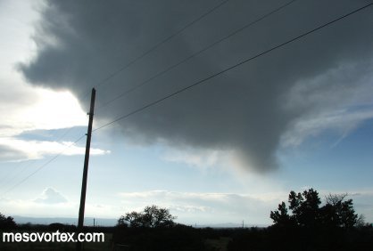
The cloud is almost above us with no rain hitting the ground.
  
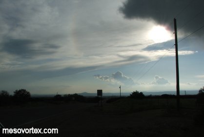
A rainbow circling the sun is partially visible.
  
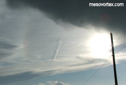
A contrail shadow creates an optical illusion.
  
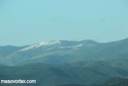
Snow capped peaks in the distance.
  
Another spectacular view as we re-enter the low stratus.

  • Back to May 25, 2005
  • Ahead to May 27, 2005
  • Back to the Storms Page
  • Back to the Front Page