Wednesday May 25, 2005


     After leaving Goodland around 830 am we headed south to the Texas panhandle on 27 to take advantage of the outflow boundary left by the MCC from the previous night. When we reached Amarillo we looked at some data in the public library. The best area looks to be northeastern NM where CU is developing and a southwest moving boundary in the TX panhandle will intersect the developing CU. We decide to head west toward Tucumkari, NM to get ahead of the boundary. Around 230 pm CDT a Severe Thunderstorm Watch is issued for our target area as storms begin to fire in northeast NM near the CO border. We take 54 to 39 to Mosquero to intercept the storms firing near the front range. We then go back southwest on 419 where we see a supercell with overturning convection in the anvil. Many other chasers are seen out and about as this looks to be the only show in town. The storm splits right before our eyes and produces very photogenic mammatus clouds. The storm has a very electrified anvil with bolts out of the blue a common enough occurence to worry us. We chase after another cell heading south on 104 and then take 129 to I-40. We chase the storm heading west and get off on the Santa Rosa exit. We park at the Love's gas station on a hill where we have a great view of a developing storm on the gust front of another storm. The storm to the east has a very visible rotating eddy which was rotating almost directly above us. The storm to the west has a great wall cloud as we head south on 54 to try and intercept it. The storm collapses over us as we are driving dumping 3/4" hail over our chase team as we parked by the side of the road.
     Here are some pics of the storms and terrain over New Mexico:

  
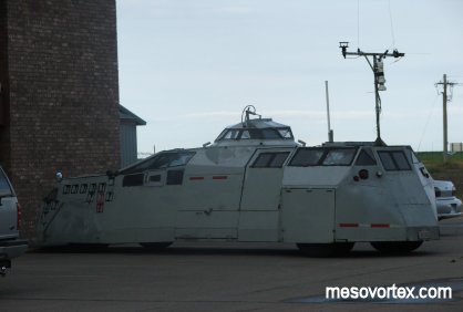
In Goodland that morning we see the IMAX tornado Intercept vehicle.
  
We also see the Doppler on Wheels in the parking lot.
  
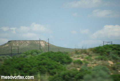
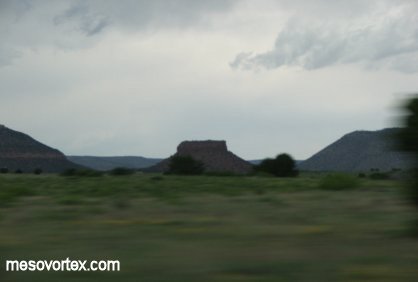
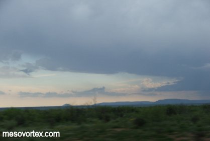
A mesa in the Texas Panhandle.
  
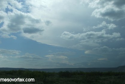
A large anvil from a developing storm out to the west.
  
When chasing enjoy mother nature.
  
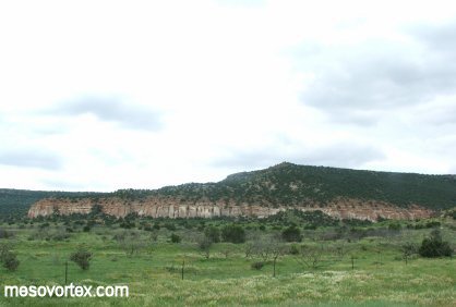
You don't see these features in Wisconsin.
  
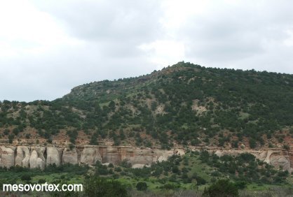
A close-up of the mountain in the distance.
  
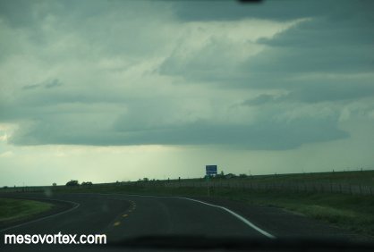
A thunderstorm ahead of us...not very spectacular.
  
Developing inflow clouds to our south.
  
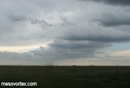
Last nature shot for this day.
  
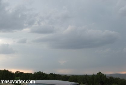
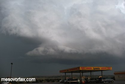
A storm trying to get organized to our west.
  
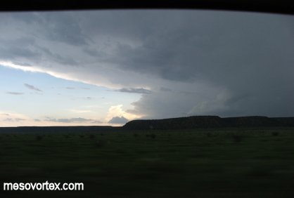
The storm gets its act together in a hurry.
  
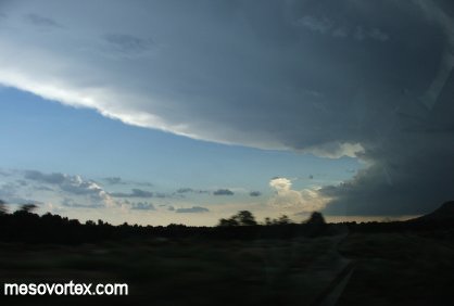
The storm is now a supercell with overturning convection.
  
A closer look confirms this feature underneath the anvil.
  
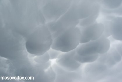
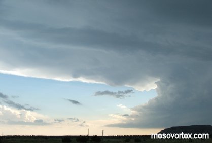
Very photogenic mammatus clouds overhead.
  
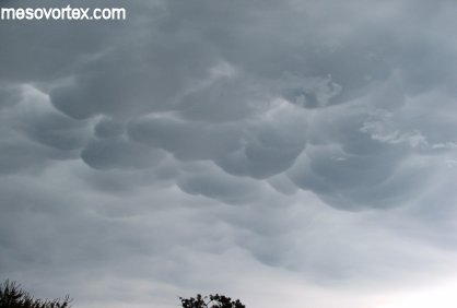
A few minutes later they change enough for a different look.
  
A storm split occurring to our west.
  
A very interesting feature develops south of the right moving storm.
  
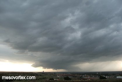
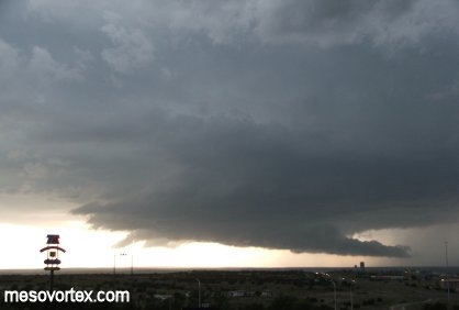
In Santa Rosa the storm develops classic wall cloud features.
  
To the east the outflow of this storm feeds the storm to the west.
  
This storm has great organization.
  
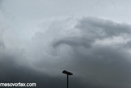
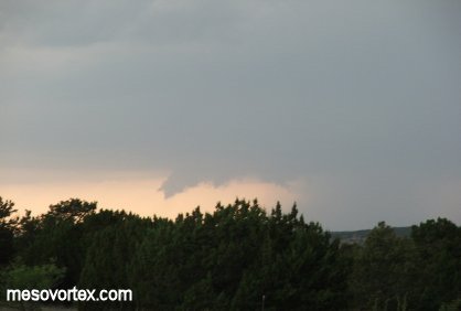
A spinning eddy develops to the east.
  
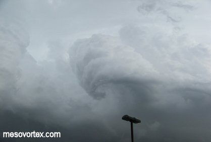
The eddy rotates intensely into a funnel like shape.
  
The storms last gasp as it quickly dissipates shortly after this pic.
  
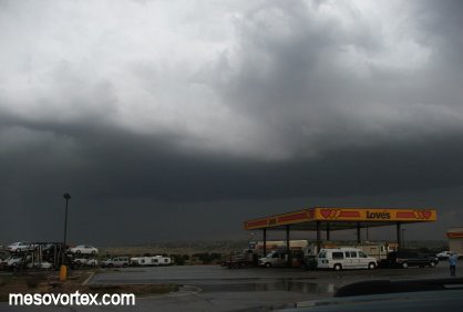
With this storm heading towards us with hail we head southward.
  
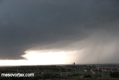
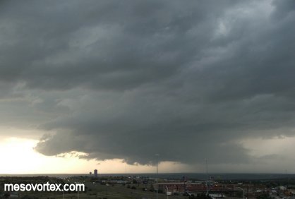
The underside of the storm to the west as it loses the tail cloud.

  • Back to May 24, 2005
  • Ahead to May 26, 2005
  • Back to the Storms Page
  • Back to the Front Page