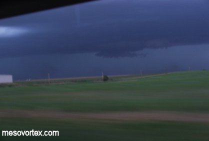
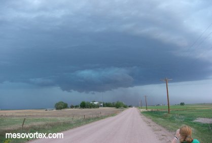
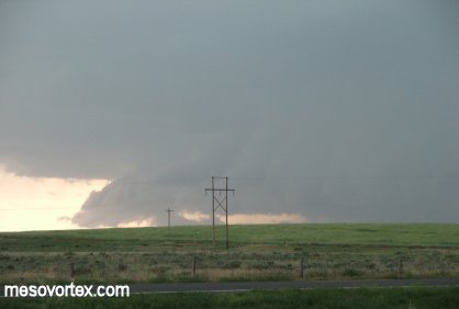
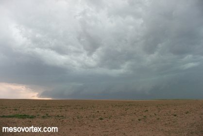
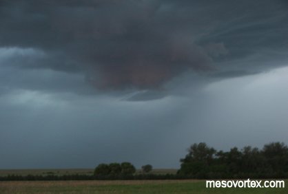
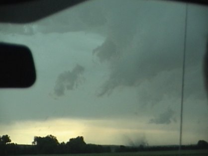
A developing wall cloud to get things started.

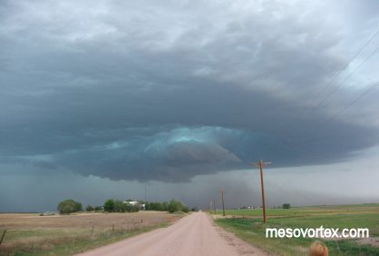
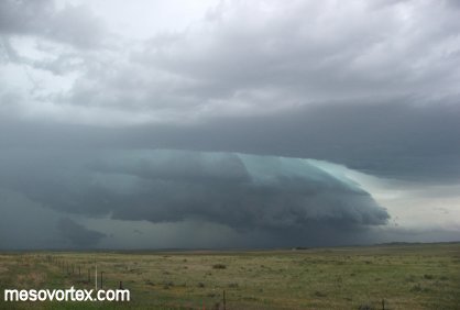
The storm develops rotation with a blue hue just above the wall cloud.
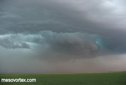
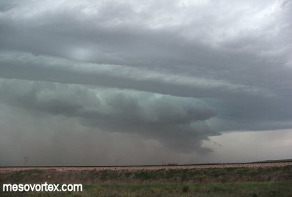
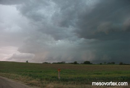
The storm gets better organized.
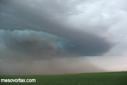
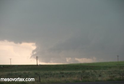
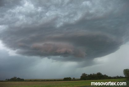
Rotation becomes very evident at this point.

We realize the storm is rotating anti-cyclonically.
The light blue color is a persistant feature with this storm.
The storms rotation produces many layers of clouds.
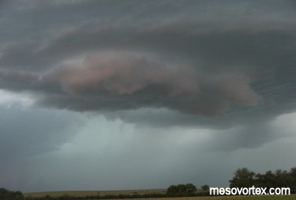
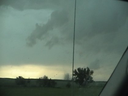
This is as close as this storm comes to a tornado.
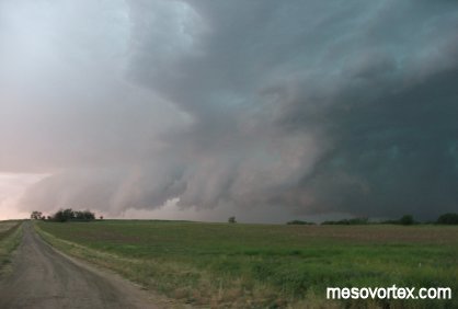
The storm to the south with a very visible gust front.

A portrait view of the very large storm.
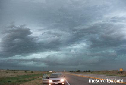
We continue driving with this storm to our south.
And this storm to our north.
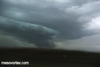
The gust front pushes ahead of this storm.
While the mothership begins to land with this storm.
All the while this storm was forming overhead.
This storm also had a very intense mesocyclone.
As this storm gets close we decide to get out ahead of it.
The RFD comes wrapping around the storm to the south.
Eventually producing a gustnado that was caught on tape.
The storms form a large MCS with very gusty winds.
A still shot of the gustnado.
Another shot of the gustnado.
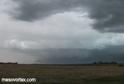
The gust front racing ahead of the storms with 75 mph winds.
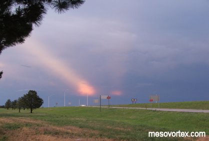
Anti-curpuscular rays to the east of Goodland.
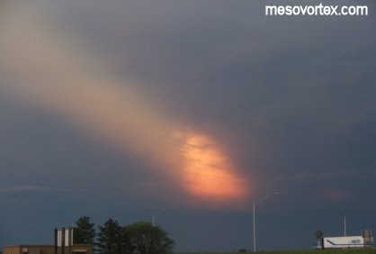
A close-up of one of the rays.
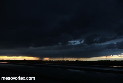
Back in Goodland a very photogenic sunset.
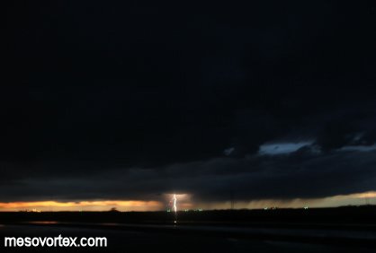
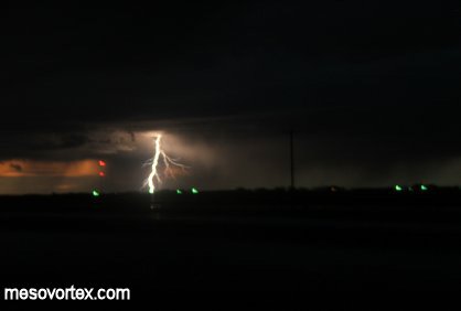
This would provide a great backdrop for some lightning shots.
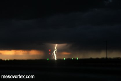
This is my first attempt at taking pictures of lightning.
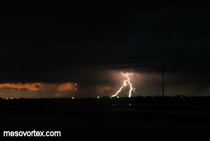
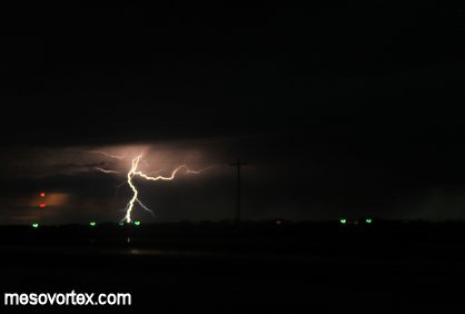
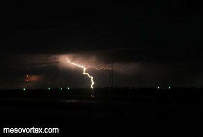
After a while I got the hang of things.