Monday May 23, 2005


     Got going around 10 am and targeted Goodland, KS. CU formed around 3 pm before we arrived at Goodland. A tornado watch was then issued for eastern CO and western KS. Cells popped up in northeast CO and headed northeast at 15 to 20 mph. We followed the southern cell taking 70 west then north on 385. The best cell was northeast but was obscured by the southern cell. The storm was tornado warned but did not produce a tornado. Inflow into the storm just north of Burlington, CO was so intense dust was seen being sucked into the updraft. We were eventually overcome by the dusty inflow cloud as visibilities briefly dropped to near zero. We headed north on 385 to the intersection of 36 and 385. Here we saw Jim Leonard and Gene Moore with a tour group. They were fortunate enough to have a radar picture and graciously shared it with us where we saw the larger cell being obscured to the northeast. We waited the initial cell out where we saw some great storm structure west on 36. The cell then became outflow dominate where some great lightning was seen. The cool RFD and close proximity of the lightning convinced us to head back to Goodland for the night. After dinner another good lightning show was to our south. We then poured over some data where southwestern NE and northwest KS look to be tomorrows target area.
     Here are some pics of the storms over Colorado:

  
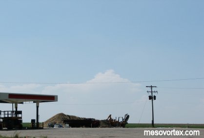
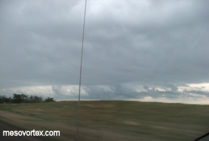
Developing CU to the west of Goodland.
  
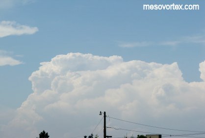
The towers start to build as we get closer.
  
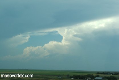
The CB is quickly obscured by the anvil of another storm.
  
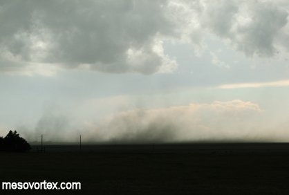
Just north of Burlington the inflow kicks up dust.
  
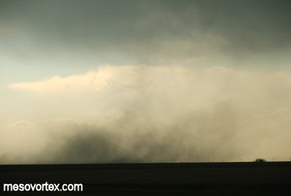
A close-up of the dust cloud.
  
The dirt is on its way into the updraft.
  
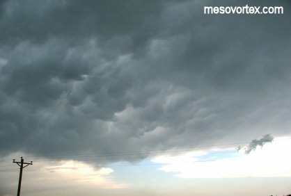
The underside of the anvil with mammatus clouds.
  
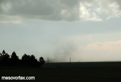
Dirt was being kicked up in all directions.
  
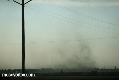
Another close-up of the dust cloud.
  
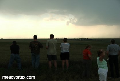
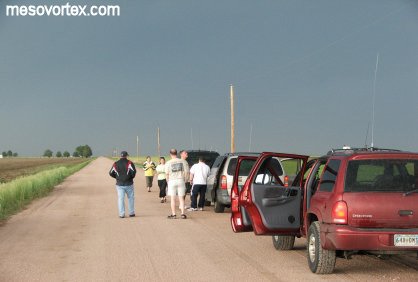
Some of the chase team admiring the storm.
  
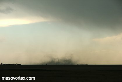
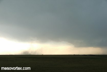
This dust cloud was almost vertical.
  
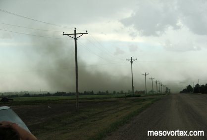
The wall of dust heads down the road towards us.
  
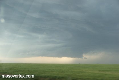
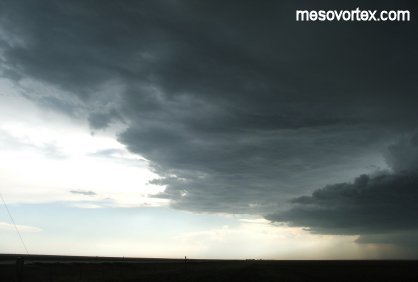
Further north the storm shows signs of rotation aloft.
  
The storm zoomed out a bit.
  
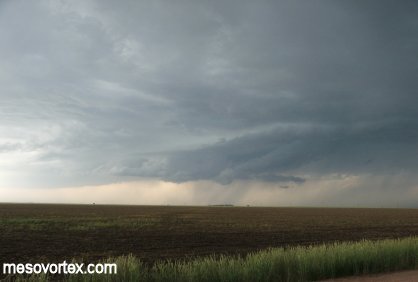
The storm appears to be losing its crisp updraft base.
  
A tour group we ran into during our journey.
  
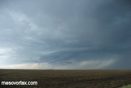
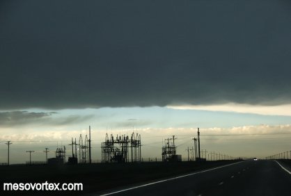
The south side of the storm.
  
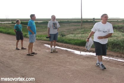
A few storm chasing legends in our midst.
  
Crepuscular rays.
  
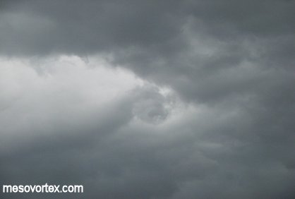
A rotating eddy on the south side of the storm.
  
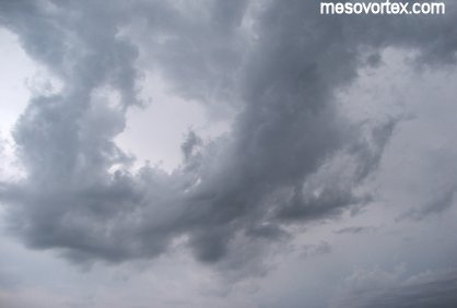
A photogenic pic of many cloud colors and layers in the distance.
  
Outflow Cumulus clouds along the gust front.
  
A close-up of the nearly vertical outflow CU.
  
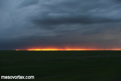
The world on fire...or a spectacular sunset.

  • Back to May 22, 2005
  • Ahead to May 24, 2005
  • Back to the Storms Page
  • Back to the Front Page