Sunday May 22, 2005


     The front pushed south of the area near the KS/OK border so we headed south towards Wichita to get data and asses the situation. We secured lodging in Wichita early to avoid the previous nite's issue and to head south near the front that was now in northern OK. The CAP was expected to erode by evening as an upper level cold pocket and the LLJ would aid convection near the front. Despite an early CU field and temperatures reaching the century mark with dew points in the low 70s clouds actually dissipated as the CAP strengthened. A cell that popped up to the east died quickly as convection fired with the upslope in eastern CO and northeast NM. We called it a nite early and headed for Wichita by 8 pm. while waiting in the hotel convection fired near Wichita around 11 pm. We headed out to catch a good lightning show. We got great shots as a transformer blew out from the lightning. We got back around 130 am where we would target Goodland for upslope the next day. Drove 405 miles this day.
     Here are some pics of the clouds over Oklahoma:

  
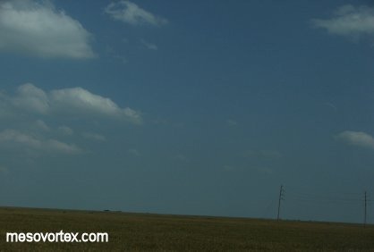
Afternoon CU give us some hope early on.
  
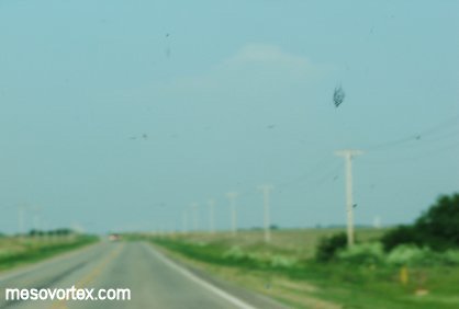
An upper level vortex indicating the front aloft.
  
A developing CU in the distance that didn't do much.
  
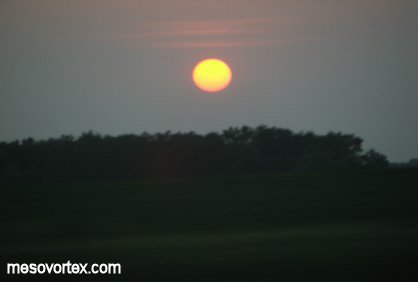
The sun setting on a very hot day.

  • Back to May 20-21, 2005
  • Ahead to May 23, 2005
  • Back to the Storms Page
  • Back to the Front Page