Friday May 20, 2005


     Drove 167 miles to Kenosha to meet up with chase team leader Steve Mirsky. After looking at the models the target area for Saturday appears to be eastern NE and western IA. Sunday looks like OK and Monday looks good for an upslope event in eastern CO.

Saturday May 21, 2005


     Left Kenosha at 5 am and met up with the rest of the group in our van in Chicago at 6 am. Planned to move out to the Omaha area where there was clearing. Clouds and precip would prevent any development in central and eastern IA. The data on the cell phone was great but was limited to the bigger cities. After arriving in Council Bluffs we decided to head south to meet up with Randy Baker's group which included Steve Mills and my chase partner from last year Matt Ziebell. Some developing clouds near Columbus, NE were moving southeast at 50 knots but did not materialize into anything. A tornado watch was issued at 4 pm which gave us hope but ended up being a large bust as we later found out. After the watch was issued we headed further south and east towards Manhattan, KS to catch storms initiated by the cold front moving south. Nothing formed in the area but a cell that popped up around sunset produced 2.75" hail near Wichita, KS that was too far away and too late to chase. For a more in depth analysis of this event see this Research Paper. Drove 730 miles on this day.
     Here are some pics of the clouds as seen from Manhattan, KS:

  
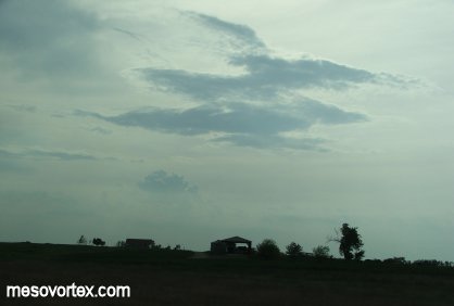
A developing CU in the distance.
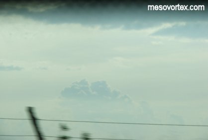
  
Here is a close-up.
  
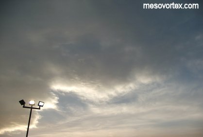
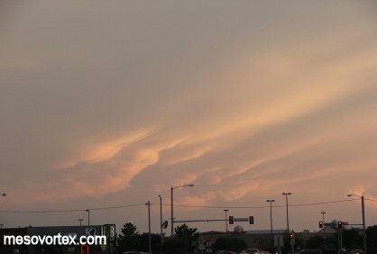
Clouds from a storm in the distance.
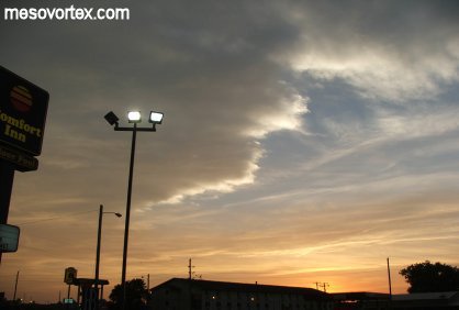
  
A wider angle.
  
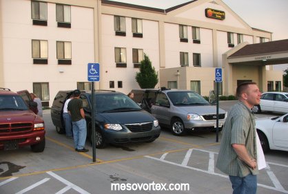
Our chase vans with some of the chasers.
  
Some developing CU too far to chase.

  • Ahead to May 22, 2005
  • Back to the Storms Page
  • Back to the Front Page