Mesovortex.com


Tuesday May 24, 2016

Chase Partners:
Randy Baker, Brian Fischer, Steven Peak, Mark Rader, Nick Rader

Departure Location:
Colby, KS

Target Area:
Ashland, KS

Final Location:
Woodward, OK

Distance:
505 miles

The best the Liberal storm got. Just some lowering beneath the updraft.

A huge bust day to say the least. After waking up in Colby we decide to book it south towards Dodge City on our way to Ashland, KS which is our initial target area. This area looks favorable for tornadoes as the dry line out to the west is still in play and there is an old outflow boundary draped across southern Kansas. A shortwave progged to track east during the late afternoon would likely be the focus for convection along these boundaries. The best shear and moisture appeared to be in western Oklahoma and southern Kansas this afternoon. Therefore when we reach Dodge City we continue south towards Laverne, OK since we want to be south and east of any storms that develop given our encounter with hail yesterday.

We arrive just north of Laverne, OK to find major chaser convergence near several pull offs near Highway 283 and 64 where we once again run into Mark Rader and his son Nick.  We head into town to gas up and look at data when we notice several cells popping up along the outflow boundary and Scott City area getting tornadoes once again, making it 3 out of the last 4 days when they have received a tornado. There are also storms popping up along the dryline in the panhandle area during this time. We need to make a crucial decision at this point in targeting the storms near Liberal, Kansas or the ones further north near Dodge City, Kansas. Unfortunately we decide on the wrong storm near the dryline in Liberal, Kansas and watch the multiple tornado reports from that storm as we watch our storm slowly die, despite the reissuance of several tornado warnings. Since this storm is dying we track northeast towards Dodge City to see if we can still see anything from that long lived supercell. However by the time we get there the tornadic cells have formed another hour to the east.  With sunset quickly approaching we decide to call it a day and get dinner before heading south towards our hotel in Woodward, Oklahoma.  The action appears to be in the Woodward area tomorrow so unlike the last several days we are hoping there will not be nearly as much driving to get to our target area.

  
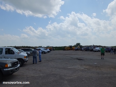
Chaser convergence near Laverne, OK
  
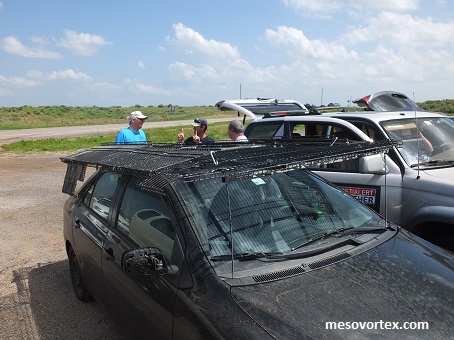
We could have used one of these on the car yesterday!
  
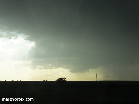
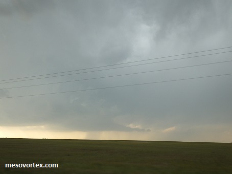
We approach the Liberal storm from the east
  
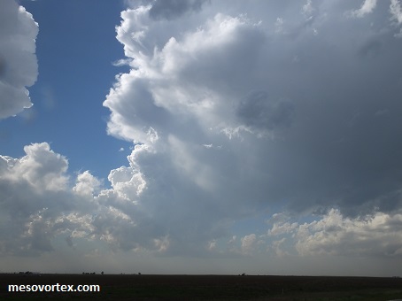
The storm seems to be fighting a lot of day air
  
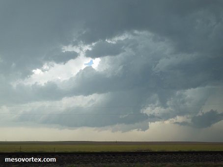
The storm becomes better organized but not all that great
  
There is a bell shape underneath the updraft, still not looking great
  
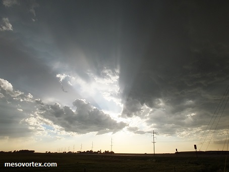
Some crepuscular rays just south of Dodge City
  
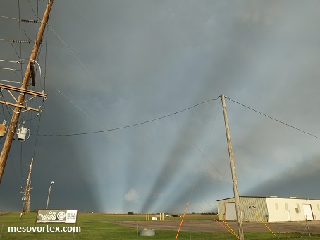
On the other side spectacular anti-crepuscular rays
  
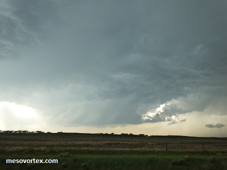
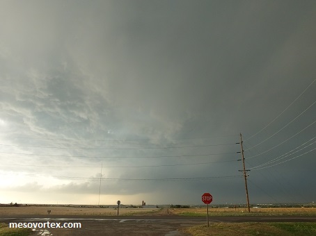
The storm south of Dodge City, way too late
  
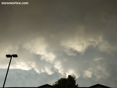
Some mammatus clouds in Dodge City
  • Back to May 23, 2016
  • Ahead to May 25, 2016
  • Back to the Storms Page
  • Back to the 2016 Storm Chase Logs
  • Back to the Front Page