Friday May 23, 2008


We met up with some of Dave's friends in Hays during the morning and targeted a similar area to yesterday's action.  Since convection was already firing along and north of I-70 and skies were clearing further south we decide to head west on 70 then south on 23 where we encountered sunny skies and temperatures in the 80s.  Storms started firing around 2 pm in the clear sector and the chase was well under way by about 3 pm.  The first cell we chased headed northeast into Gove County and we encounter the first tornado of the day northeast of Shields at 348 pm.  Although the storm was still tracking northeast the roads quickly became an issue as we almost got stuck several times.  Given the poor condition of the dirt roads we decided to forgo any additional dirt roads where convection has previously passed through.

With the road network we head back south and travel back and forth on highway 4 between Shields and Utica where we intercept several more supercells as they head northeast and cross our path.  Despite additional good looking supercells we lost out on tornadoes with the dirt roads preventing us from heading north.  Later on in the day we take highway 4 east then 283 south to intercept a strong supercell heading north northeast from Dodge City.  Just south of Ness City we see another brief tornado touchdown at 708 pm.  This storm quickly intensifies and produces several more tornadoes as the storm heads towards I-70. As we head north we see our third tornado at 727pm just northeast of Ransom.

Later on a storm to the south merges with the main supercell and blocks our way to intercept the large destructive tornado that headed for Ellis.  With the large supercell to the north we slowly tracked north to avoid intercepting the large hail.  As we drove back to the hotel along I-70 we encountered many flipped over semis and the city of Ellis was completely dark.  Unfortunately due to the tornado warnings many restaurants were closed so it took a bit longer than normal to call it a night. Dave Inmon's account of the chase is here. Drove a total of 325 miles today.

  
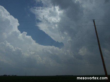
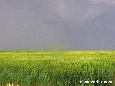
The storms fire up during the afternoon hours
  
A mesocyclone develops with a long tail cloud
  
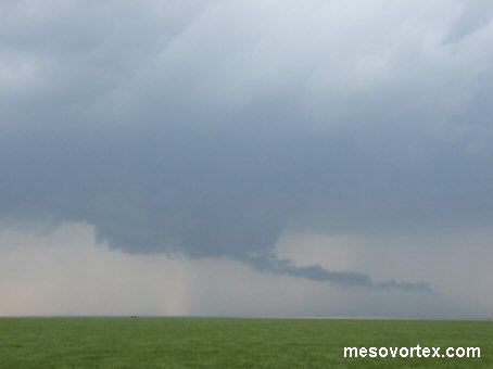
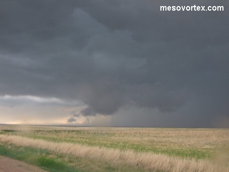
The first tornado of the day northeast of Shields
  
A supercell heading north towards highway 4
  
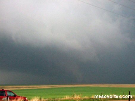
A second tornado south of Ness City with dirt kicked up on the ground
  
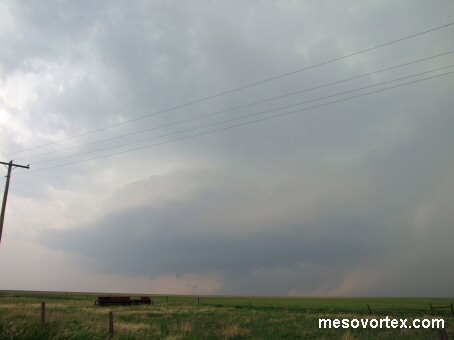
The mesocyclone strengthens
  
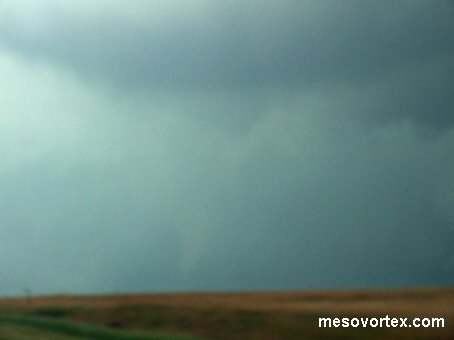
Our third tornado with low contrast
  
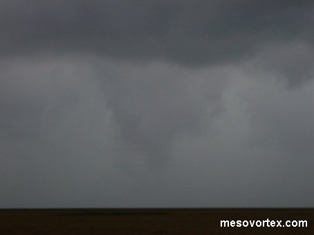
Another funnel cloud but no additional touchdowns

  • Back to May 22, 2008
  • Ahead to May 24, 2008
  • Back to the Storms Page
  • Back to the Front Page