Saturday May 24, 2008


With convection continuing to our east from the overnight hours our target area of Nebraska was mostly cloud covered during the morning hours.  A dry line across central Nebraska seemed like a good bet to chase as it would provide the convergence needed for convection during the afternoon hours.  We headed north on 183 out of Hays, Kansas then head east on I-80 in Nebraska.  As the skies cleared during the early afternoon and cumulus clouds developed along the dry line we were psyched for a good chase day.  After the tornado watch was issued we were optimistic that we would see some good supercells with tornadoes. We quickly got east of the dryline in Aurora then went further back west to get close to the dry line as the cumulus clouds were more pronounced along the boundary.  The storms to the north started to blow up and we quickly headed north on highway 281 to chase the developing storms on the dryline.

One of the southern cells became very strong and briefly exhibited shear so we decided we would chase this storm to its end.  With the storms moving Northeast at 40 to 50 mph it became difficult, but we managed to stay with it as we followed it to Wolbach, Fullerton and Tilden.  As we followed the storm it exhibited great structure and was very photogenic with a much higher contrast than we experienced the last few days.  As we stopped south of Tilden to admire the storm we noticed a low rotating cloud south of town.  This lowering became very pronounced and developed a funnel cloud that extended more than halfway to the ground at 6 pm.  The town sounded the tornado sirens as the funnel cloud passed over the town but it did not appear to touch down.

This would be the best we would get from the storm as we continued to get some great shots of the persistent wall cloud with the storm continuing on its northeast track.  We followed the storm to Vermillion, South Dakota until 8 pm.  With the storm quickly dissipating and no structure left to the storm we call off the chase and spend the night in Sioux City, Iowa. Dave Inmon's account of the chase is here. Drove a total of 486 miles today.

  
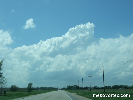
Storms initiating along the dryline
  
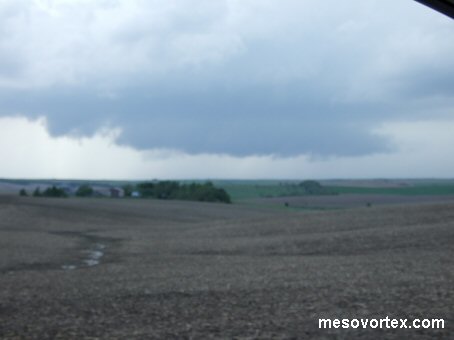
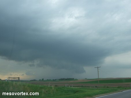
A mesocyclone develops with a southern storm
  
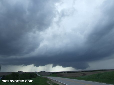
The mesocyclone becomes better developed
  
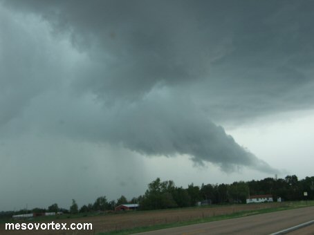
A tail cloud forms as we approach Tilden
  
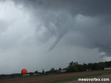
The mesocyclone is in the distance with the funnel forming in the foreground
  
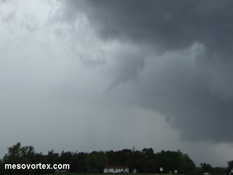
A funnel cloud extends about halfway down just south of Tilden
  
The funnel cloud dissipates a few minutes later
  
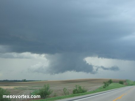
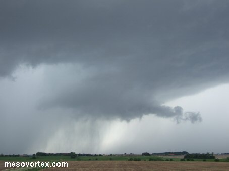
The mesocyclone reforms with evidence of a vault on the left
  
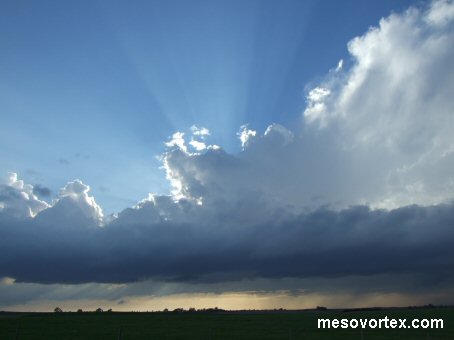
The sun illuminates the storm we are chasing
  
The storm begins to wind down around 8 pm

YouTube video of the Funnel Cloud

  • Back to May 23, 2008
  • Ahead to May 25, 2008
  • Back to the Storms Page
  • Back to the Front Page