Tuesday May 22, 2007


We left very early in the morning from Pierre and took Highway 83 south all the way to northern Kansas by early afternoon.  We get east of the dry line as convection rapidly fires around 330 pm CDT.  We then head east to Hill City when we heard our first Tornado Warning of the day.  The city basically shut down as the storm moved towards the town and the Tornado Sirens sounded off.  Since we needed gas we had to head south to Wa Keeney but spot a well defined wall cloud with several funnels developing underneath it on the way.  After we fueled up we set up a few miles north of Wa Keeney and watch the southern end of the Tornado Warned cells continue to develop.  Very strong southeast winds into the storm make setting up a time lapse impossible as winds exceeded 40 mph into the storm.  Although we do not spot any Tornadoes some were spotted to the north of our location.  We head west to try and intercept additional cells but give up shortly around 8 pm as we experience rain cooled RFD air. We then decide to head east to spend the night in Hays where we see frequent lightning from additional Tornado Warned cells to our east.

We punch through this storm to get to our hotel in Hays where we see hail up to 1 inch and some very gusty winds.  The hail covered Interstate 70 with a few inches of hail.  After we get on the other side of the storm in Hays the storm hits the hotel...producing damage and some flooding in Hays.  With the long haul from South Dakota we logged 592 miles today.


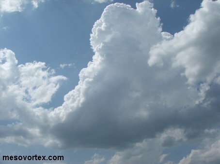
The first storm blows up around 330 pm
  
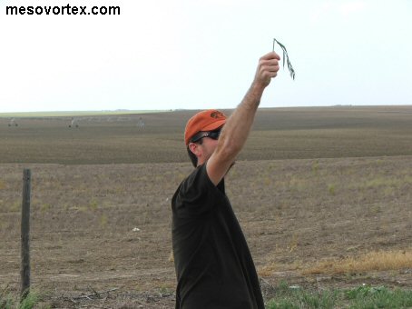
A homemade Kansas Anemometer
  
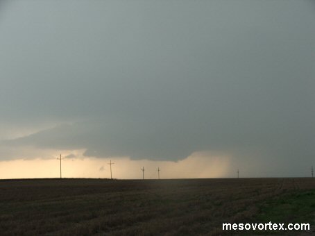
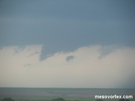
The storm develops a wall cloud south of Hill City
  
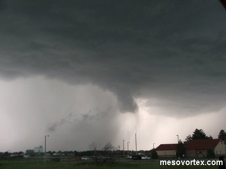
A funnel cloud develops on the right side of the wall cloud
  
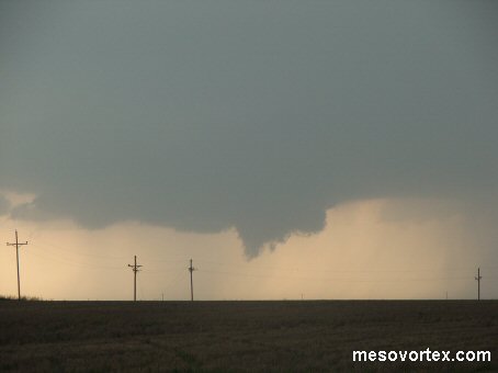
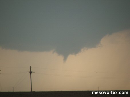
The funnel cloud develops further...but still no tornado
  
The rotation becomes wider with 2 funnels developing
  
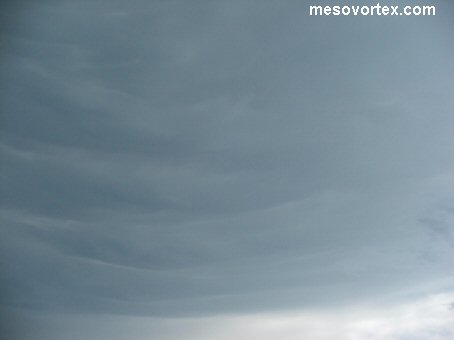
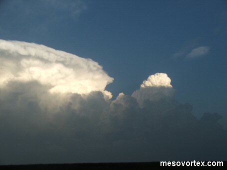
Striations underneath the anvil
  
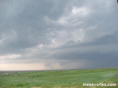
The storm to the south develops a laminar base
  
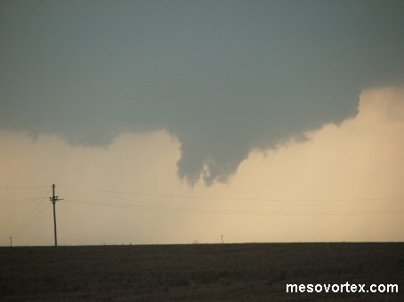
Two funnels develop underneath the updraft of the southern storm
  
The two funnel clouds in the distance
  
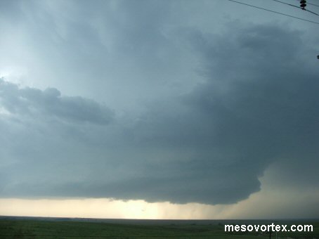
The RFD wrapping around the storm before we drive through it
  
On the back side of the storm after we punched the core

  • Back to May 21, 2007
  • Ahead to May 23, 2007
  • Back to the Storms Page
  • Back to the Front Page