Monday May 21, 2007


By the morning dew points in the lower 60s made their way into South Dakota and were surging northward into North Dakota. Despite some convection firing in Wyoming and South Dakota we decide to leave Rapid City and head northward to Buffalo...then continue onto Bowman, North Dakota. While in Bowman we realize the front has passed to our east so we head east on Highway 12 and zigzag north and east to Glen Ullin where Matt Ziebell was located.  By the time we get there Matt was chasing a cell well to the north so we head east on Interstate 94 and set up on Exit 120 where we watch a cell develop to our west.

At first the cell does not look too impressive...but we decide to stay and get some pictures of it.  We see some shear funnels on the south side of the storm but nothing well organized.  A wall cloud then develops with very visible cyclonic rotation.  This wall cloud gets undercut by the RFD...but we notice the air is not that cold as the wind comes towards us.  Another wall cloud develops behind the original one that develops a well defined funnel cloud...and a brief tornado touches down for 45 seconds about 5 miles to our west at 616 pm MDT.  We quickly call the Bismarck NWS office to alert them of the brief touchdown as a Skywarm spotter views another touchdown in the same area.  The storm become linear and we briefly met up with Matt north of Bismarck. To get in the target area for the next day we head south to Pierre for the night for a total of 632 miles.

Here are the videos of the Tornado Only and the full Tornado Evolution from this day. The files are about 7 Mb and 24 Mb respectively.

  
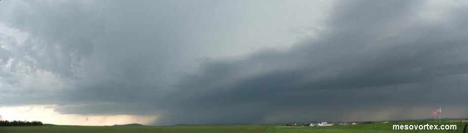
The first view of the storm as we get off Exit 120
  
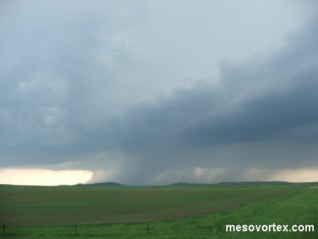
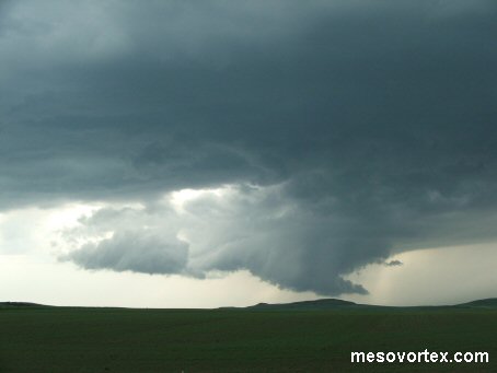
The wall cloud begins to form
  
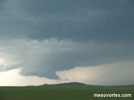
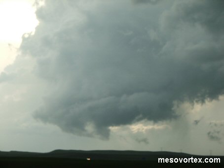
The wall cloud matures with a Tail Cloud
  
A dramatic picture of the wall cloud with some sun peaking thru
  
The wall cloud has good rotation before being cut by the RFD
  
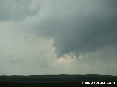
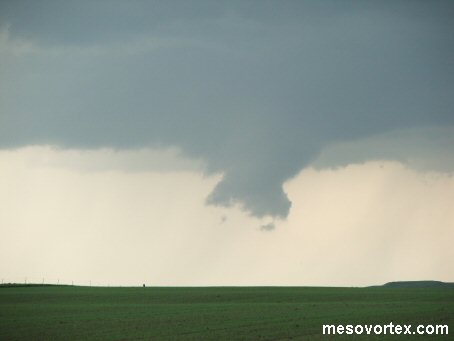
The funnel cloud forming behing the first wall cloud
  
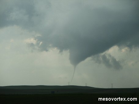
The tornado first touches down as a thin rope
  
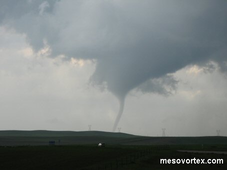
The tornado at its mature stage
  
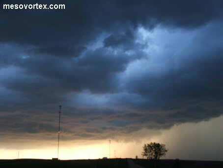
A nice sky as the storm forms into a line
  
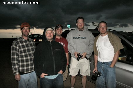
The new chase team with Matt - Randy took the pic
  
A panoramic of the storm

YouTube video of the tornado

  • Back to May 19-20, 2007
  • Ahead to May 22, 2007
  • Back to the Storms Page
  • Back to the Front Page