Sunday May 16, 2004


     Experienced some passing morning showers in O'Neill and waited for drying to make its way Eastward. Headed west for Valentine, NE around noon to get closer to the sunny skies where we thought convection would initiate. Checked data in Valentine and found that clearing was slowly moving eastward with some embedded convection well to the east in the clouds. Then decided to head south to get into the warm sector and sunny skies when all of the sudden the low stratus evaporated, a tornado watch was issued, and the storms to the east took off. Backtracked to Thedford and headed east on Highway 2 towards Dunning. Headed east on Highway 91 and experienced some 1" hail with nice storm structure. Headed towards Amelia, NE where a tornado was sighted on highway 11 as the storm to our south followed us. Many strong storms over the area made picking out the most severe one hard so followed the warnings to Holt county where we witnessed the fairly fresh tornado damage south of Amelia on highway 95 with tree branches torn off and electrical poles snapped.
     Headed towards Ewing on a dirt road east of 281 trying to catch up with the storm as it produced a tornado near O'Neill. We were south of the impressive core but it was rain wrapped by the RFD. The storm then died as we got near highway 275 in a position to finally catch it. It was 8 pm and getting dark so we decided to call it a day so headed south on 14 then west on 70 where the sun illuminated the remaining severe storms over the area. Took 281 south where we ran into more 1/4" to 1/2" hail on our way to Grand Island where many other chasers converged for the night. Monday's target looks like North Central Kansas as the cold front sinks further south. Got in touch with Matt's friends who were amazingly enough in Grand Island and will meet up with them tomorrow. Drove 525 miles this day.
     Matt's pics and account of this day can be found here.
     Here are some pics of the storms over North Central Nebraska:

  
Developing tower with Back-sheared anvil and Mammatus clouds.
  
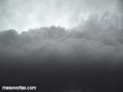
A clower look at the anvil.
  
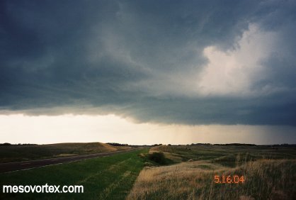
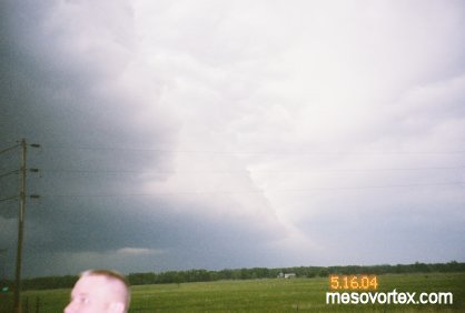
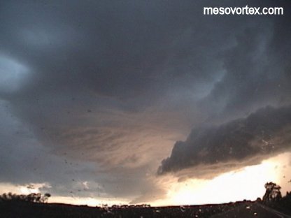
A more mature storm with lowering and evidence of broad rotation.
  
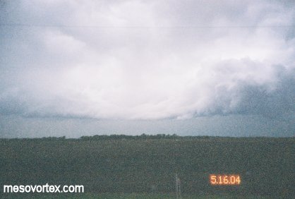
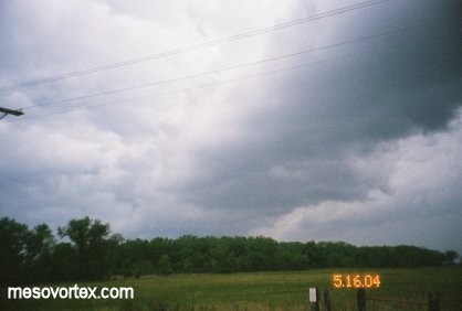
A developing storm in the distance.
  
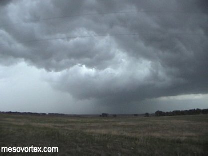
The core of the storm producing a tornado rain-wrapped by the RFD.
  
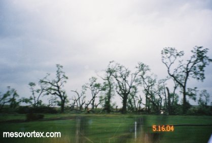
Tornado damage south of Amelia.
  
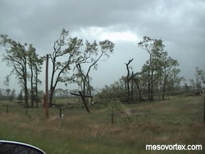
More damage as a telephone pole is snapped.
  
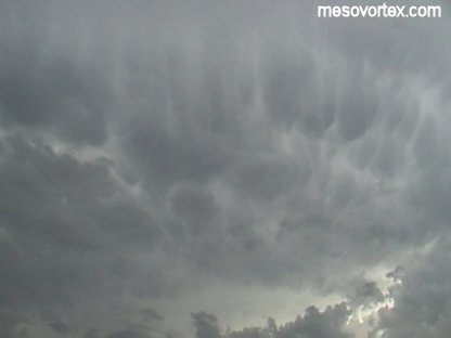
A picture of some mammatus clouds.
  
Two clouds joined in the middle.
  
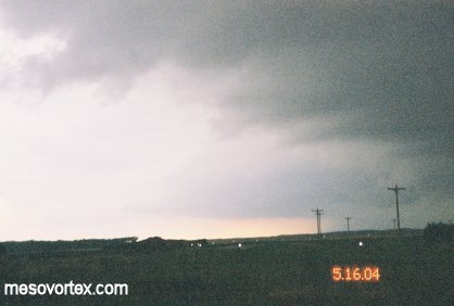
A lowering off in the distance.
  
Matt's head and the gust front producing a row of cumulus clouds.
  
The approaching RFD as the storm gusts out.
  
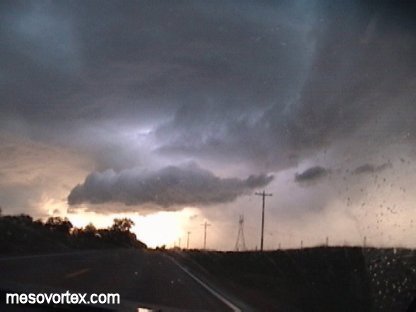
The gust front almost directly overhead.
  
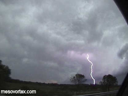
Lightning ahead of the gust front.
  
A sun illuminated storm with lightning in the clouds.
  
A pic of the sun setting behind the storm.

  • Back to May 13-15, 2004
  • Ahead to May 17, 2004
  • Back to the Storms Page
  • Back to the Front Page