Thursday May 13, 2004


     Drove 500 miles to St. Louis to meet up with my chasing partner Matt Ziebell.

Friday May 14, 2004


     There was a see text in Day 2 for Eastern Colorado. We decided to drive 425 miles to Salina, KS to be in position for the next day if things looked good the next day.

Saturday May 15, 2004


     Eastern Colorado appears to have too much cirrus clouds so head north to York, NE to get in position for Sunday in eastern Nebraska. New model runs indicate best area may be northern Nebraska and southern South Dakota near the warm front so head towards O'Neill, NE. Catch a single cell thunderstorm northwest of O'Neill with a very photogenic cell. The cell formed in the unstable layer near the forming front. The storm eventually died out as the heating wanes and head back to O'Neill to spend the night. Drove 405 miles on this day.
     Matt's pics and account of this day can be found here.
     Here are some pics of the thunderstorm near O'Neill:

  
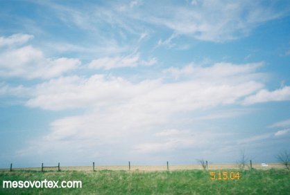
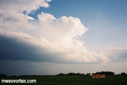
Fair Weather Cumulus and cirrus to start the day.
  
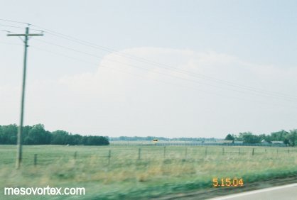
Here is the developing storm in the distance.
  
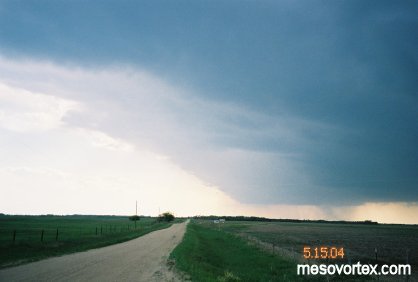
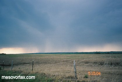
The storm as we get closer.
  
A photogenic look as the left side of the storm.
  
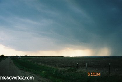
The bulk of the storm with many rain shafts.
  
Some inflow striations above our heads.
  
A close up of the sun illuminated part of the storm.
  
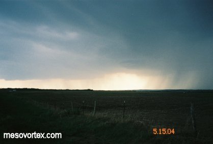
A close up of the rain shaft.
  
Another developing storm to our North.
  
A double rainbow to end the day.

  • Ahead to May 16, 2004
  • Back to the Storms Page
  • Back to the Front Page