Tuesday June 6, 2006


Although the target area today in eastern Colorado looked marginal...morning convection in eastern Iowa gave us the indication that we made the right decision in cheating west. After trying to catch up to building towers near the front range south of Denver we realized we missed out on a lot of tornadoes in southern Wisconsin. Despite the bust some good photos were still taken. Multiple dust devils were spotted near Bennett, Colorado which was ironic given the date of 06/06/06. We decided to call it a day in Fort Collins, Colorado where we will target southwest South Dakota to the east of the Black Hills tomorrow.

  
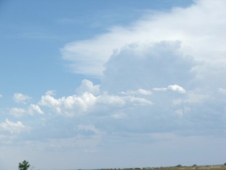
Cumulonimbus clouds south of Bennett
  
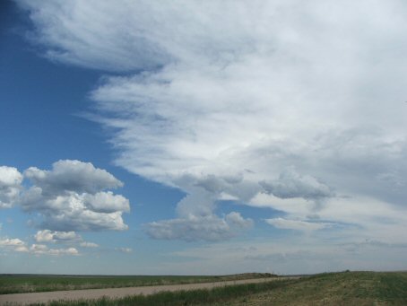
More development to our west
  
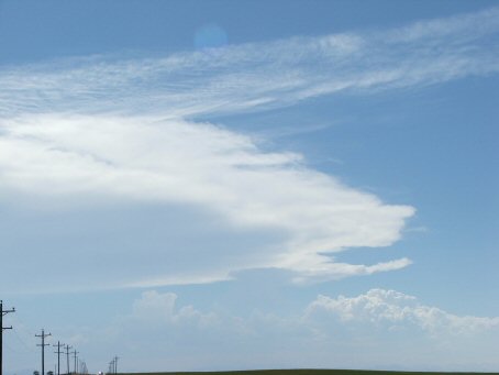
A very large anvil develops to our south
  
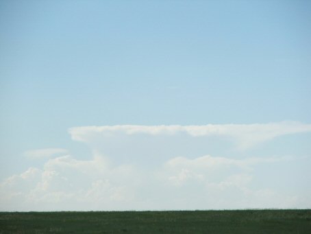
Another thunderstorm over the front range
  
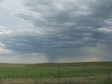
Rain shaft to our southwest as we approach the storm
  
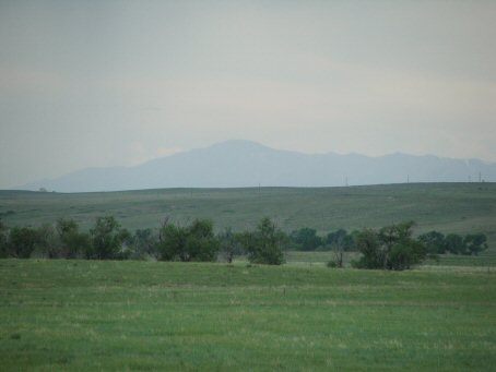
The front range to our west
  
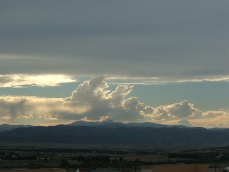
Clouds developing west of Castle Rock
  
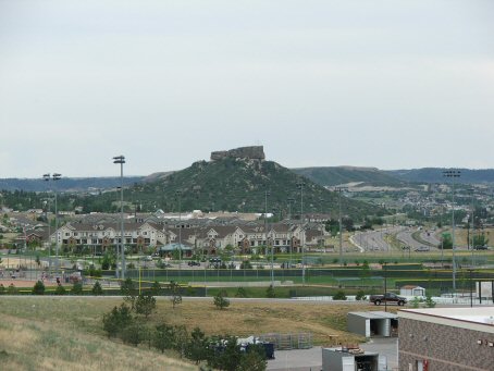
A view of Castle Rock

  • Back to June 5, 2006
  • Ahead to June 7, 2006
  • Back to the Storms Page
  • Back to the Front Page