Monday June 5, 2006


Finally Moderate Risk is issued for the first time in a while for our target area of northern Nebraska and southern South Dakota. Morning convection in central Nebraska diminishes hopes as none of the 00Z models had a handle on this thunderstorm complex. Going with observations we leave Lincoln, Nebraska and decide to head north where the complex did not affect the weather too much and where the best instability and low level shear were collocated in O'Neill, Nebraska. Once there some towers go up but are thin near the base with a lot of entrainment and dissipate rather quickly. With chase partner Matt Ziebell's WxWorx up and running the supercell in southeastern South Dakota looks most promising. We headed north towards Mitchell, SD where the supercell died once we intercepted it. However the strength of the supercell was still evident with a significant amount of dust being kicked up by the RFD. A line of storms formed to the southwest so headed south towards Grand Island, Nebraska where additional thunderstorms and very photogenic clouds were intercepted.

  
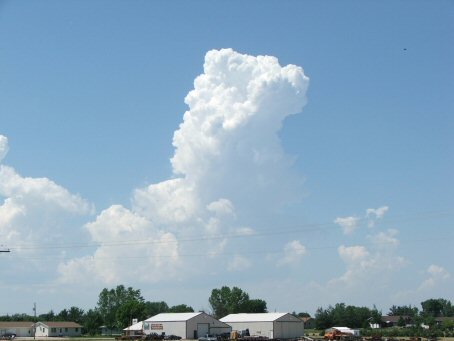
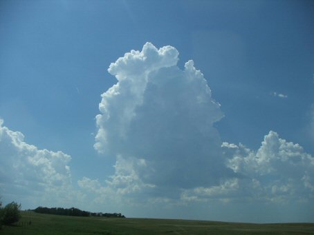
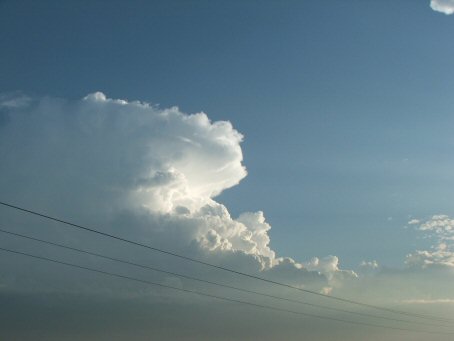
Towering CU building near O'Neill
  
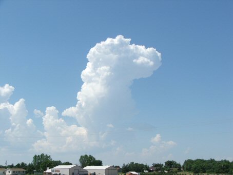
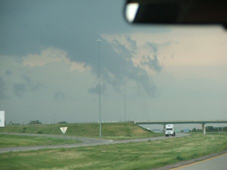
The Anvil starts forming
  
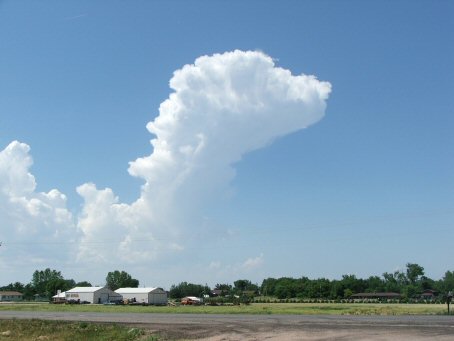
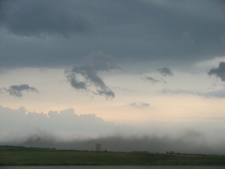
The narrow base becomes a concern
  
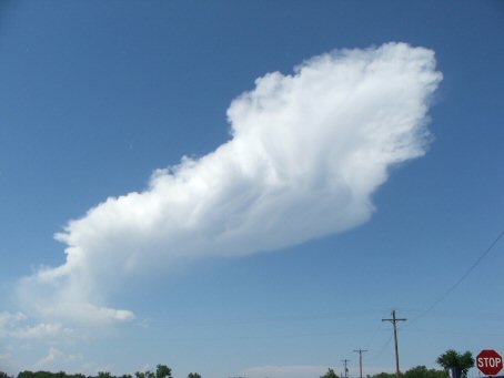
The storm quickly dies
  
Additional CU building to the west
  
Some RFD scud near Mitchell, SD
  
Dirt being kicked up by the RFD
  
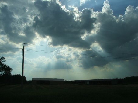
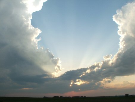
Crepuscular Rays heading back into Nebraska
  
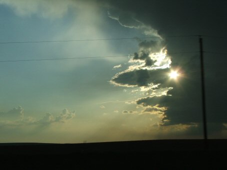
The sun shining through a developing thunderstorm
  
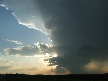
The sun illuminates the storm from behind
  
Another building left moving cell to the southwest.
  
The sun sets between two storms

  • Back to June 4, 2006
  • Ahead to June 6, 2006
  • Back to the Storms Page
  • Back to the Front Page