Saturday June 10, 2006


When we woke up we had the dilemma of heading west to chase in western Nebraska or south to chase in Missouri. Given the proximity to the low in eastern Kansas and western Missouri...the 3000 j/kg CAPEs and decent helicity values we decided to head south where the best dymanics appeared to be during the afternoon. The clouds did not break up in our chase area...allowing the cap to hold all day instead of eroding like the models predicted. To add fuel to the fire tornadoes were seen in western Nebraska which was our secondary chase area. Given the week we experienced and picking good areas most of the week I guess you can't win them all.

Given convection was not firing by 6 pm we headed towards St. Louis to call it a week. However convection eventually fired on the nose of the Low Level Jet and we experienced a great light show travelling on I-70. Although my camera settings were not ideal for lightning shots I did get some video of the stronger lightning strikes. Since meeting up with the group in St. Louis we logged 4063 miles...I logged 5037 miles including the drive from Green Bay.

  
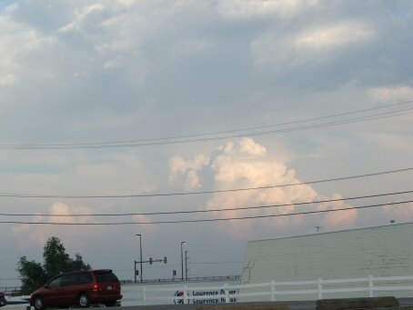
Developing convection south of Kansas City
  
Lightning illuminating the clouds near Boonville, MO
  
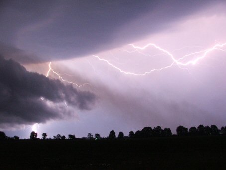
 Great shot east of Columbia, MO
  
Several lightning bolts caught at once
  
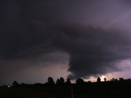
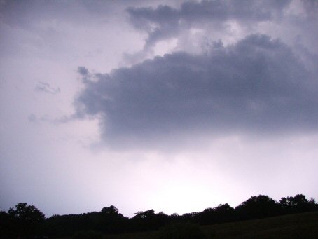
 An ominous looking cloud to the south
  
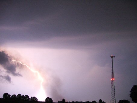
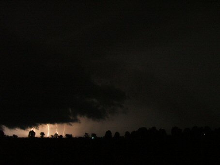
Very bright lighting with too high of an ISO setting

YouTube video summary of the chase set to music

  • Back to June 9, 2006
  • Back to the Storms Page
  • Back to the Front Page