Friday June 9, 2006


After waking up in Kearney our target of Nebraska...South Dakota and Iowa looks good as the cap is forecast to break over this area around 23Z. We headed east to Omaha then north to Sioux City to gather data and watch the cumulus build. After a few cells broke through the cap around 2230Z we headed north to watch them approach us east of Vermillion near I-29. The storms then accelerated eastward where we saw several other chasers when we crossed over into Iowa. We viewed a few brief gustnados near the intersection of 50 and 3 or about 1/2 mile north northeast of Westfield at 720 pm CDT. We continued chasing the storm which developed a wall cloud with visible rotation near Merrill Iowa. After that point we could not get ahead of the storms again as we ran into rain. We encountered the static with the antennaes once again as I was shocked several times while trying to check the weather radio. At this point I decided to unplug it and not take the chance of bringing the lightning in the car since this happened twice in one week. It was quickly becoming dark so we headed to Council Bluffs to stay the night.

  
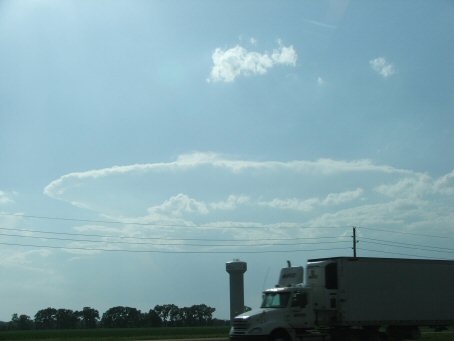
Finally a storm punching through the cap
  
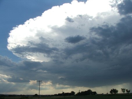
A closer view of the storm near Vermillion
  
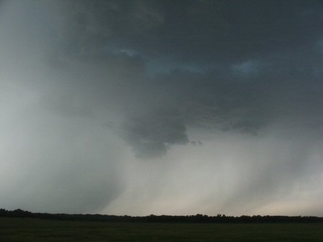
 The RFD develops to the south of the storm
  
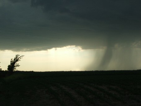
Rain shaft with crepuscular ray in the foreground
  
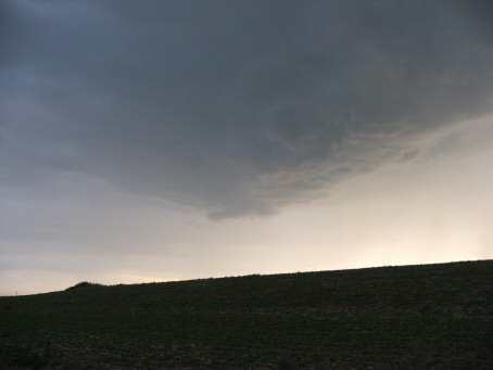
 A developing Wall Cloud to the North
  
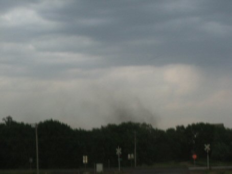
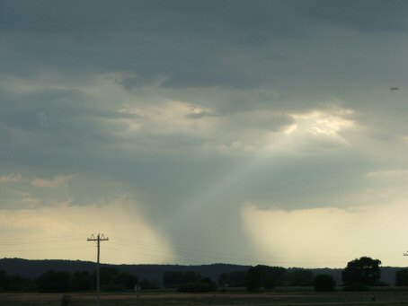
The gustnado NNE of Westfield
  
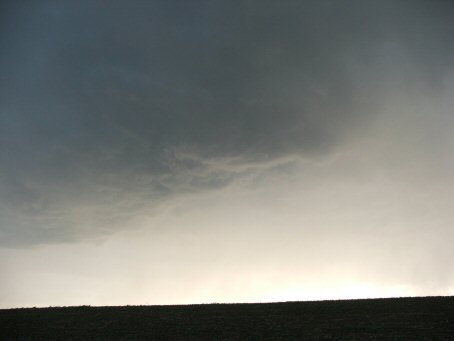
 Another developing Wall Cloud to the West
  
Visible rotation before we are overcome by rain

  • Back to June 8, 2006
  • Ahead to June 10, 2006
  • Back to the Storms Page
  • Back to the Front Page