Mesovortex.com


Wednesday June 22, 2011

Chase Partners:
None

Location:
Holly, MI

Distance:
None


A very moist unstable airmass was in place across southeast Michigan today as a warm front had passed through the area last night. Storms developed out to the west and moved through the area as an organized line of storms during the afternoon hours. Although there was not much to see with this initial line stucture wise...it produced very strong winds as it passed through my location. Some interesting pictures were had with showers that developed behind the departing line of severe storms.

  
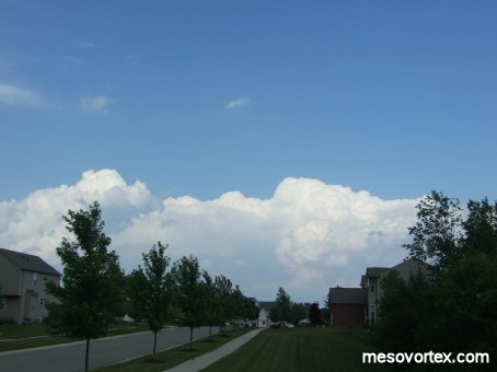
Cumulus begin to form in the afternoon
  
The storms quickly organize
  
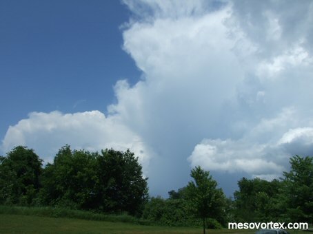
 After the initial line has passed additional storms develop
  
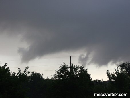
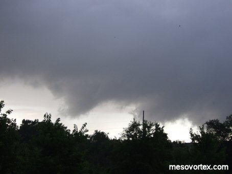
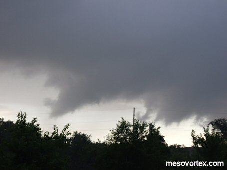
Not a funnel cloud...but a look alike scud cloud that is not rotating
  
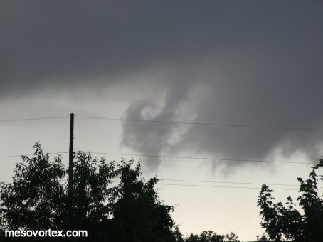
 An interesting curl develops to the right of the lowered scud
  
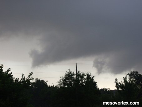
The scud begins to lose its funnel shape

  • Back to the Storms Page
  • Back to the Front Page