June 16, 2001


A suprise Severe Thunderstorm rips through South Central and East Central Wisconsin. Many reports of Wind Damage but no hail. The outflow boundary makes it all the way into Northern Illinois. These are pictures of the outflow boundary as it moves through northern Jefferson County Wisconsin.

  
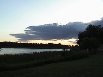
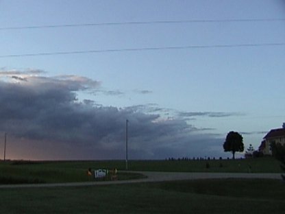
Outflow cloud development to our west
  
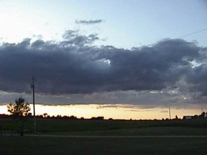
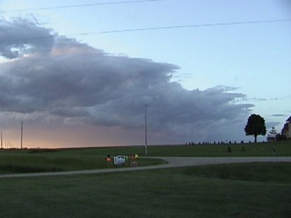
Outflow clouds coming right at us
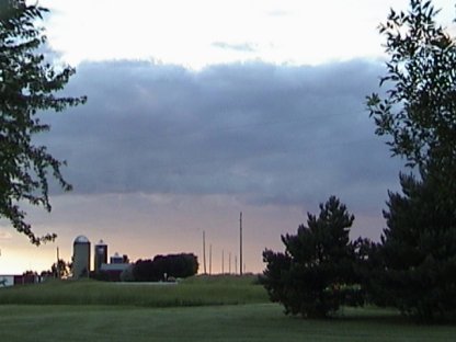
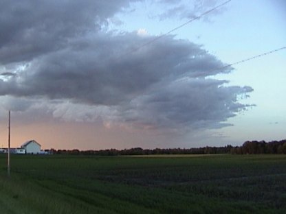
  
A close-up view
  
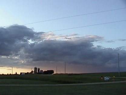
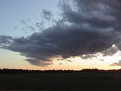
Outflow Cumulus to the east
  
The clouds to the east appear to be small individual Cumulus
  
As the clouds get closer it gets easier to see the low-topped CU
  
A close-up confirms these suspicians
  
The outflow as it moves over us

  • Back to the Storms Page
  • Back to the Front Page