June 13, 2002


Lots of convection popping up over northeast wisconsin with several funnel clouds reported throughout the area. Since we are close we go to the NWS office where I work in GRB. The radar is not too impressive but there are some cells to the south that look pretty good. We don't get two feet out the door and we see a developing wall cloud to the south. We go south to the airport to get a better unobstructed view and wait for the funnels to form and are rewarded for a fairly crappy year. Although not the thing we wanted to see...some great video and pics were taken on this day.

  
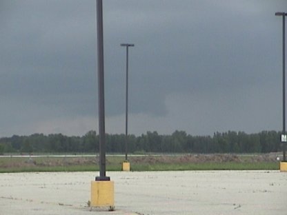
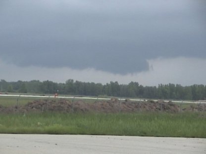
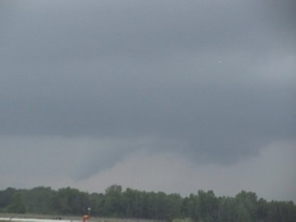
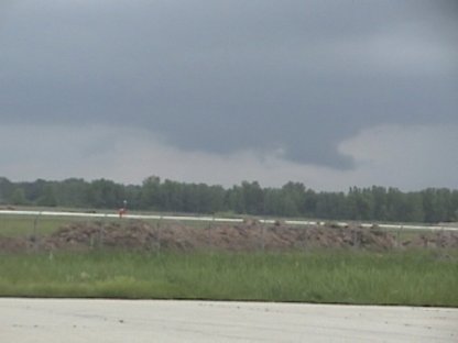
Here is a wall cloud south of the GRB airport
  
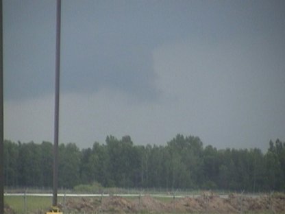
Here is the right edge of the wall cloud
  
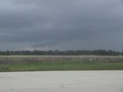
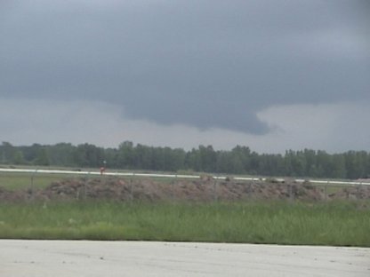
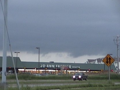
The wall cloud becomes better developed
  
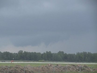
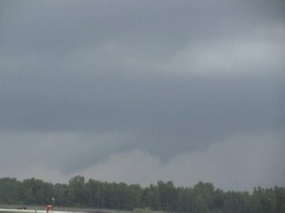
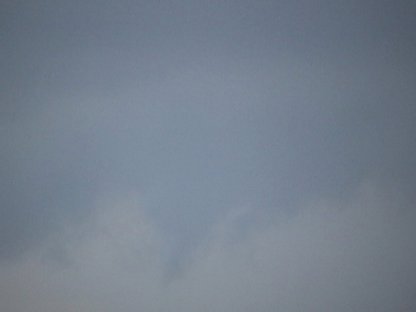
A funnel forming in the center of the wall cloud
  
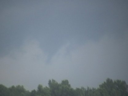
A close-up of the funnel cloud
  
Watching the wall cloud for more action
  
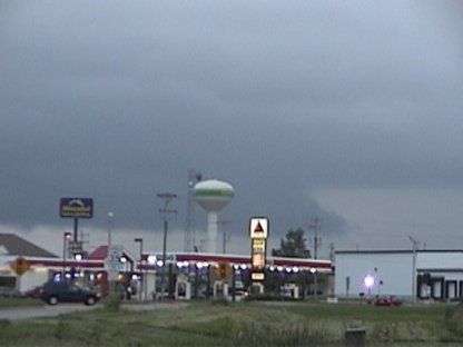
It becomes very well developed
  
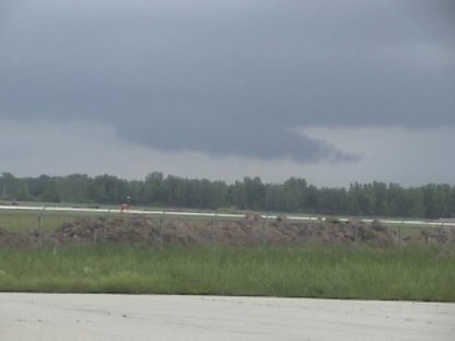
Notice the beaver's tail
  
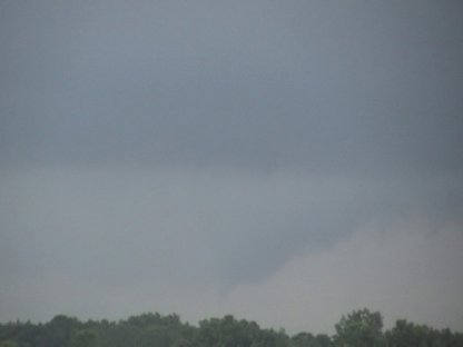
Here is the funnel forming to the left
  
A closer look at the funnel
  
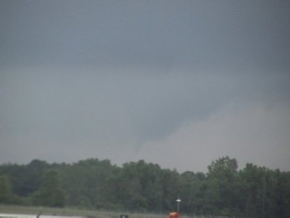
The funnel is just above the trees
  
Here are two cold air funnels
  
A close-up of the one to the right
  
A pic of the wall cloud as it dies
  
Notice several lowerings below the cloud
  
A bell shaped lowering south of Green Bay

  • Back to the Storms Page
  • Back to the Front Page