Monday June 8, 2009


A warm front was making its way through southern Michigan as CAPEs increased to 1000-2000 J/kg with ample shear associated with the front.  A Tornado Watch was issued around 4 pm with subsequent Warnings issued as convection fired during the late afternoon and evening hours.  Below are some pictures of the line of storms that moved through extreme southeastern Genesee County around 9 pm.  Although the clouds were very turbulent with rapid rising motion...there were no rotating funnel clouds...just scud clouds.

  
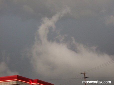
Rapidly rising clouds looked very ominous
  
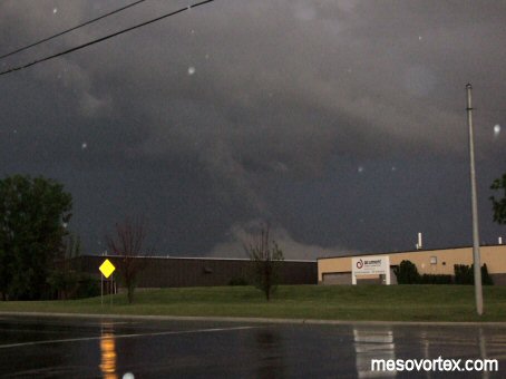
Some scud clouds that were mistaken for funnel clouds
  
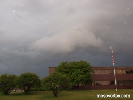
 A low hanging cloud after the main line passed through
  
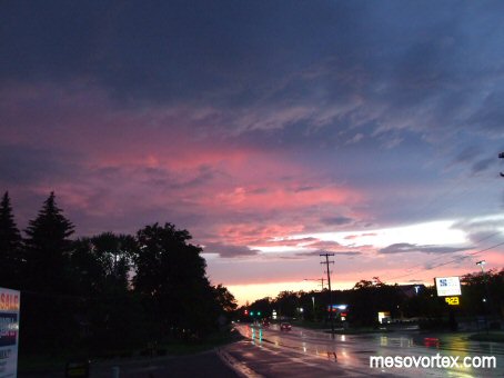
Under the clouds as the sun set

  • Back to the Storms Page
  • Back to the Front Page