Mesovortex.com


Saturday-Sunday December 21-22, 2013

Event Type:
Freezing Rain

Location:
NE Oakland County, MI


The sun rises on an ice covered landscape on Christmas Eve


A frontal boundary was draped along the Michigan/Ohio border the weekend before Christmas as a low pressure system tracked through the Ohio Valley. With much of southeast Michigan on the cold side of the front surface temperatures stayed below freezing while warm temperatures aloft allowed liquid precipitation to fall into this cold surface layer. This set the stage for a significant Freezing Rain event across much of southeast Michigan during the evening and early morning hours of Saturday and Sunday respectively. Below are picture I took during the event with a full recap of the event from the NWS DTX Office. The storm only brought about 0.25" of freezing rain to my area with higher amounts just to the north.

  
The trees are becoming ice covered in Grand Blanc...time to head home!
  
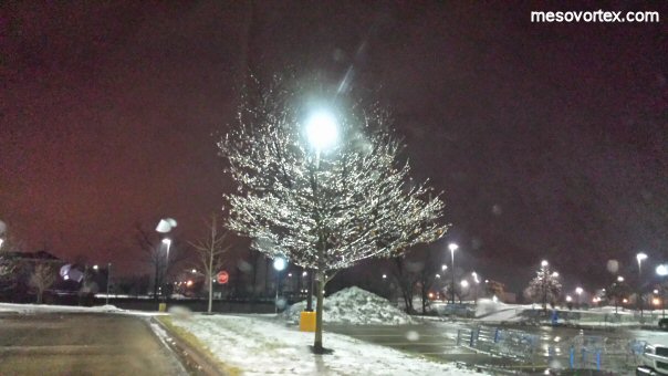
Arrived at home to find about 0.10" of ice on the trees
  
A few hours later a thicker coating of ice has formed
  
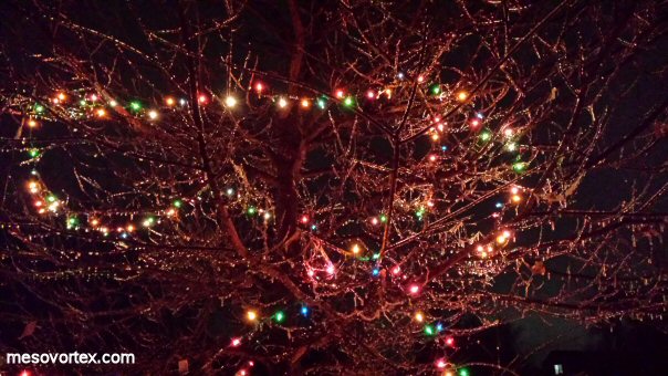
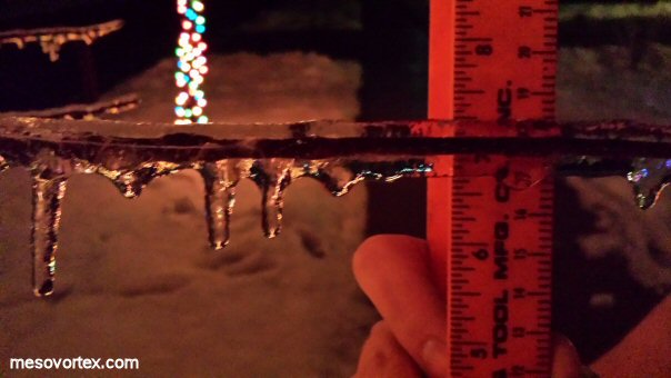
An official measurement of 0.25" of ice on the trees
  
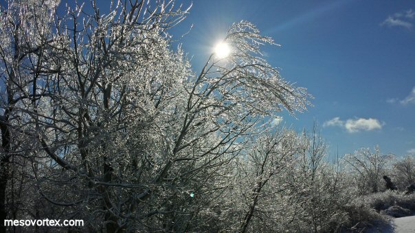
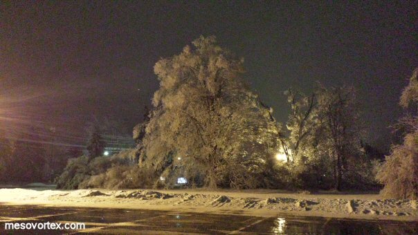
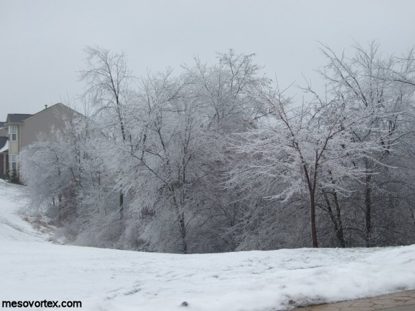
The next day an ice covered winter wonderland has formed
  
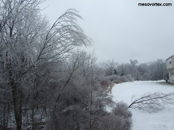
Trees bend from the weight of the ice
  
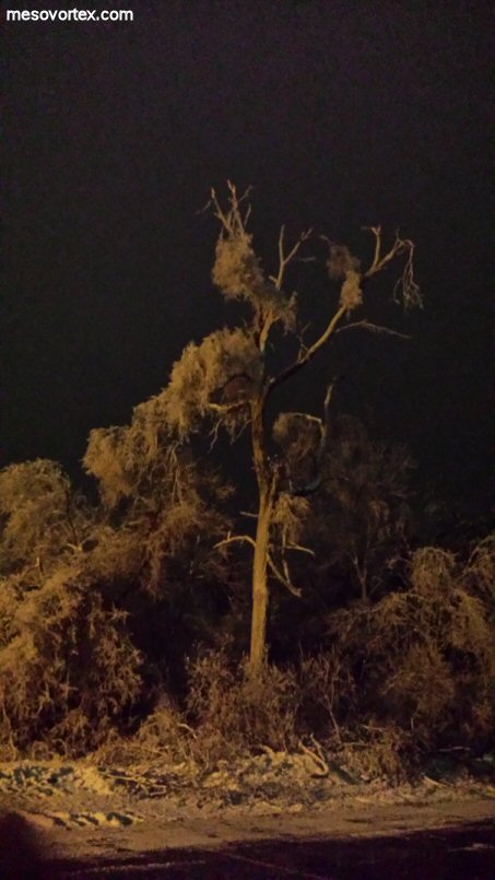
The tree on the far right didn't make it
  
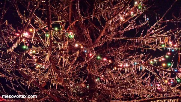
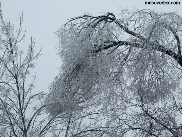
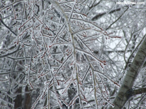
A close up of the ice covered branches
  
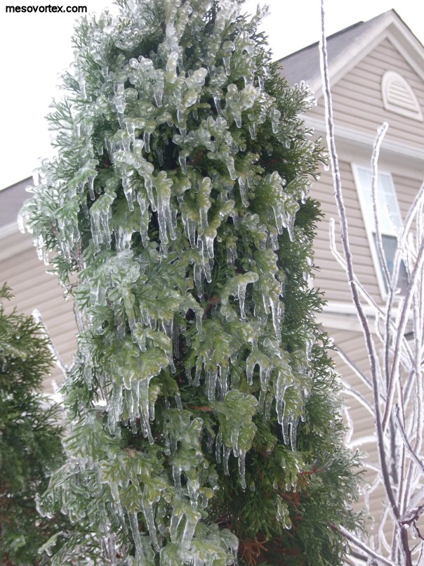
An ice covered Arbor Vitae tree
  
This tree in downtown Holly was badly damaged by the ice
  
The tree to the left fared better
  
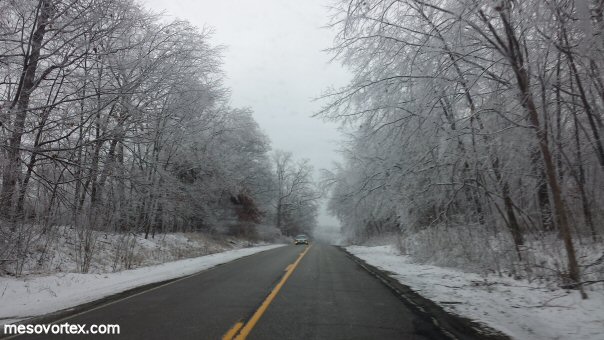
The road is one big winter wonderland

  • Back to the Storms Page
  • Back to the Front Page