Mesovortex.com


Thursday August 24, 2011

Chase Partners:
None

Location:
Holly, MI

Distance:
None


A very warm moist airmass ahead of an approaching cold front set the stage for severe thunderstorms during the evening hours. Despite a Tornado Watch being issued...the storms only produced wind damage and large hail as the tracked through southeast Michigan. The storms developed well to the south close to the Detroit metro area...making the possibility of a chase in a very urban area close to impossible. Instead I took photos and video of the storms as they bubbled up to my south. Below are the pictures of the thunderstorms...with time lapse video to follow.

  
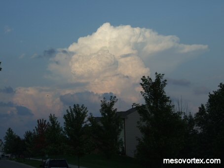
Thunderstorms develop to the south
  
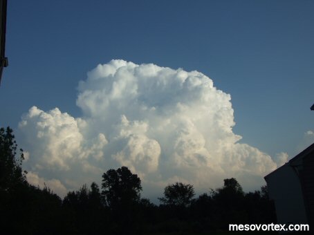
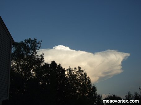
The anvil forms with an overshooting top
  
Additional thunderstorms develop to the west
  
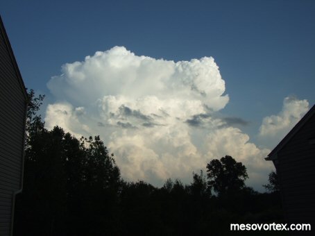
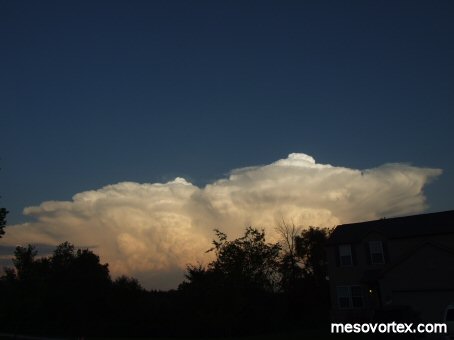
A well defined anvil and bright white overshooting top
  
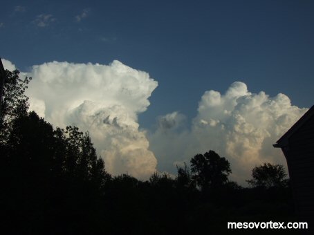
Two overshooting tops amongst the line of storms
  
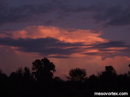
As the sun sets the storms become reddish in color

  • Back to the Storms Page
  • Back to the Front Page