None
Location:
Holly, MI
Distance:
None
| Chase
Partners: None Location: Holly, MI Distance: None |
|
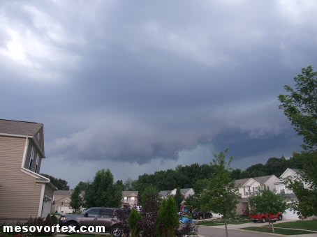
 The Shelf Cloud approaches from the west |
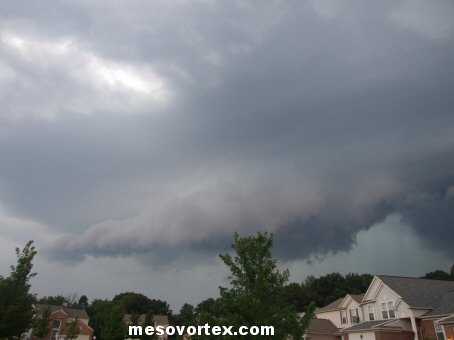
 Pan to the right with the massive precip core |
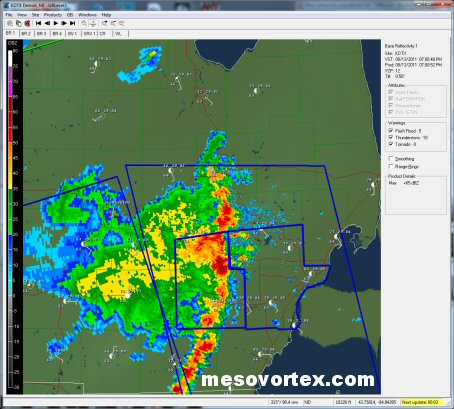 DTX radar image showing the line of storms approaching |
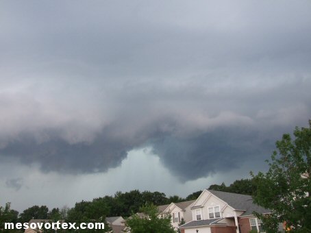
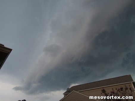 The Shelf Cloud is almost overhead |
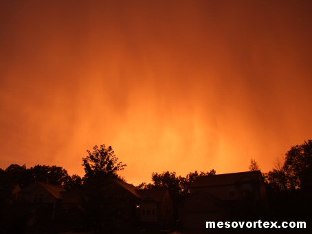 Once the storms pass a bright orange sky |
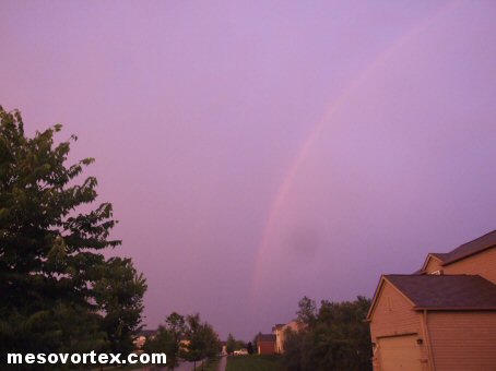 A faint double rainbow to the east |
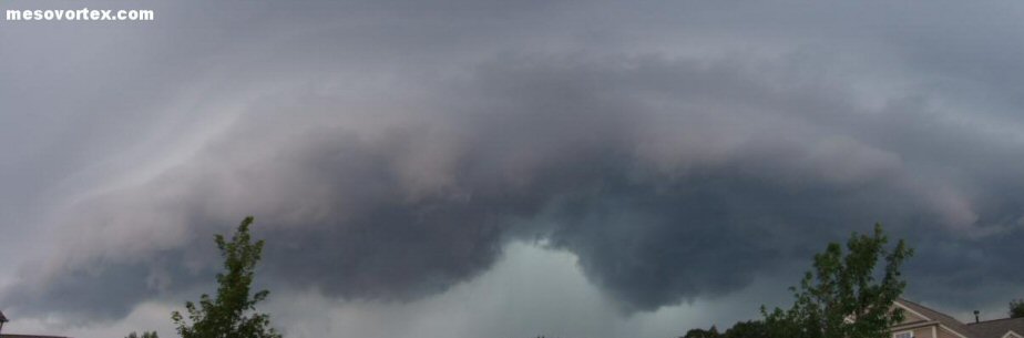 Panoramic of the approaching Shelf Cloud |