Mesovortex.com


Saturday-Sunday January 4-5, 2014

Event Type:
Heavy Snowfall

Location:
NE Oakland County, MI


Me after shoveling the driveway and getting the pictures you see below.


An arctic boundary sunk south through central Michigan on Saturday afternoon...setting off a band of snow showers that started around 5 pm across the central and northern portion of southeast Michigan. This boundary remained over southeast Michigan as another low pressure system tracked through the Ohio Vally on Sunday. This secondary system had quite a bit of moisture and frontogenesis associated with it in the dendritic growth zone...allowing for large flakes and snowfall rates of 1 to 2" per hour during the afternoon hours on Sunday. Once this system moved east late Sunday night an arctic blast brought temperatures down into the single digits during the day on Monday. Below are pictures I took after the snow had fallen with a full recap of the event from the NWS DTX Office. The storm brought about 15.9" of snow to my area with higher amounts just to the north and lower amounts further south.

  
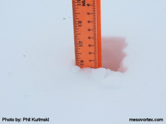
We got just below 16 inches of snow...officially 15.9"!
  
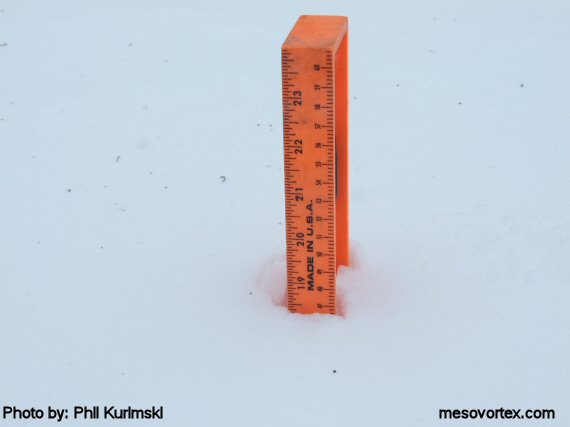
Current snowdepth is 18"
  
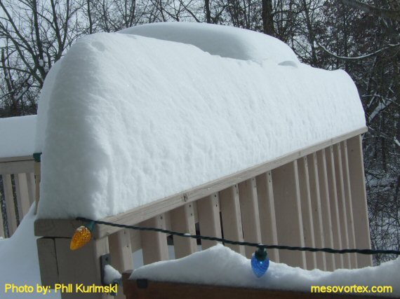
The deck is piled high with snow.
  
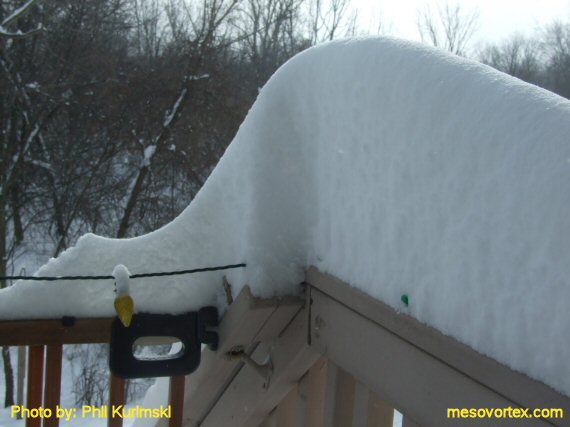
Even the corners were left intact.
  
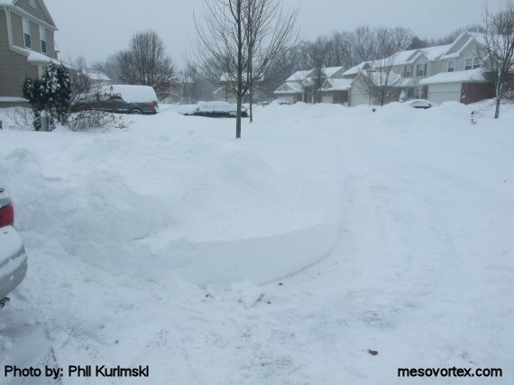
The snow is piled  high on the street.
  
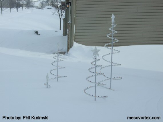
The Christmas decorations are buried. They aren't coming down anytime soon.
  
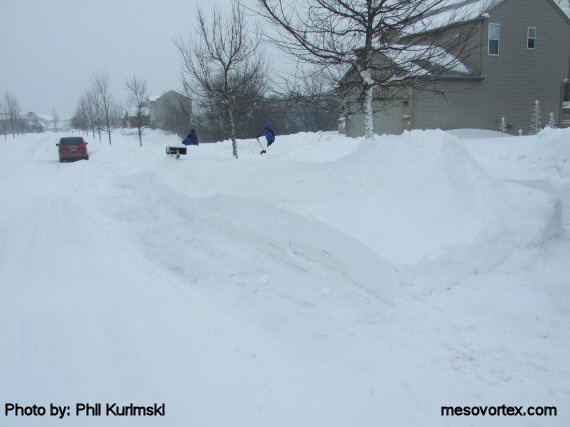
The other side of the street with huge snow piles.
  
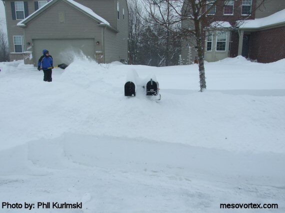
The snow is piled all the way up to the mailboxes.
  
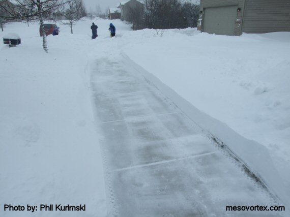
A swath is cut through the snow for the sidewalk.
  
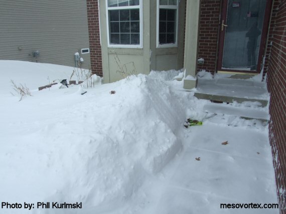
The snow is piled all the way past the front porch.

  • Back to the Storms Page
  • Back to the Front Page